Download
1 / 18
180 likes | 428 Vues
Urbanization and the Effect on Watershed Hydrology. Chris Maxwell-Gaines Community and Regional Planning. Project Methodology. Locate appropriate watershed Download data Delineate watershed for stream gage Intersect land use layers Compare storm events to stream gage response

E N D
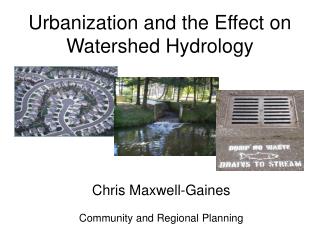
Urbanization and the Effect on Watershed Hydrology Chris Maxwell-Gaines Community and Regional Planning
Project Methodology • Locate appropriate watershed • Download data • Delineate watershed for stream gage • Intersect land use layers • Compare storm events to stream gage response • Compare stream flow to storm events • Calculate results
Description of Bull Creek • Creek length: 11 miles • Drainage area: 25 sq. miles (16,000 ac) • Drains to Colorado River at Lake Austin • Projected Population Growth: 2000: 43,709 2030: 69,716 Source: City of Austin
Watershed delineation from DEM • Delineate watershed using USGS gage as an basin outlet • Delineation included West Bull Creek
Land use circa 1980 Legend: Residential Commercial / Industrial Undeveloped / Open Space Transportation Mining Water Bull Creek Source: EPA - LULC
Land use circa 2003 Land use for 2003 had to be consolidated for comparison with 1980 data Bull Creek Source: City of Austin
Intersection of 1980 Land Use and Bull Creek gage watershed Bull Creek USGS Stream Gage: 08154700 Bull Creek at Loop 360
Intersection of 2003 Land Use and Bull Creek gage watershed Bull Creek USGS Stream Gage: 08154700 Bull Creek at Loop 360
Change in Land Use • 1980 Land use was created from aerial photography – Not exact! • 2003 Land use data is more refined hence the inclusion of Transportation layer • Transportation was a land use in 1980 data but pertained to large highways and other facilities
Historical Precipitation for Bull Creek Identify storm events during these 3 years of similar precipitation Choose storm events that are large enough to cause noticeable rise in stream flow Storms larger than 1 inch
Representative Storm Events • Storm events isolated to one day events • Attempted to match precipitation level • Will examine more storms for final report
Further Research for Project • Calculate storm run-off volume and normalize it to amount of precipitation • Perform statistical analysis • Review land use consolidations • Exam the precipitation and stream flow data closer