Download
1 / 6
70 likes | 227 Vues
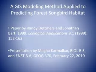
A GIS Modeling Method Applied to Predicting Forest Songbird Habitat . Paper by Randy Dettmers and Jonathan Bart. 1999. Ecological Applications 9.1 (1999): 152-163 Presentation by Megha Karmalkar, BIOL B.S. and ENST B.A, GEOG 370, February 22, 2010. Role of GIS in Habitat Modeling.

E N D
A GIS Modeling Method Applied to Predicting Forest Songbird Habitat Paper by Randy Dettmers and Jonathan Bart. 1999. Ecological Applications 9.1 (1999): 152-163 Presentation by Megha Karmalkar, BIOL B.S. and ENST B.A, GEOG 370, February 22, 2010
Role of GIS in Habitat Modeling • Problem: Thousands of acres of wildlife habitat are destroyed due to human development and expansion. How can habitat destruction be reduced? • Hypothesis: GIS modeling can be used to create a map of wildlife habitat through the analysis of presence data. This would create an accurate account of where animals are concentrated and would aid in conservation and protection efforts.
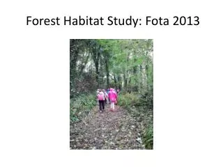
Methods and Procedure • Site: Wayne National Forest and Raccoon Ecological Management Area, in southeastern Ohio • Study area was divided in plots (pixels). • GIS layers were obtained for the following: land cover, moisture index, slope, curvature, morphology, and flow accumulation of water. • An existing land cover classification from 1986 Thematic Mapper data was used to distinguish forest from non-forest. • Trained observers surveyed the area, and bird observations were plotted on topographic maps using Arc/Info 7.0.
Results • Several isarithmic maps were developed, with darker areas representing good habitat and white dots indication the locations of individuals of different species. • The models can be practically used to create maps. • These products could be used to create new management plans to avoid development in areas that could eliminate important habitat areas.
Conclusion • Variables such as food availability and predator populations could have been added to create a more accurate model. • They should show how similar models could be created for other habitats, possibly without the need for someone to actually be there to make observations, especially for larger habitats.