GIS Modeling
GIS Modeling. GIS Topics and Applications. 5 Ms of GIS. Mapping Measurement Monitoring Modeling Management. Geoprocessing. When we perform geoprocessing tasks on our data, we are developing the components of a GIS model. We perform geoprocessing every time we:


GIS Modeling
E N D
Presentation Transcript
GIS Modeling GIS Topics and Applications
5 Ms of GIS Mapping Measurement Monitoring Modeling Management
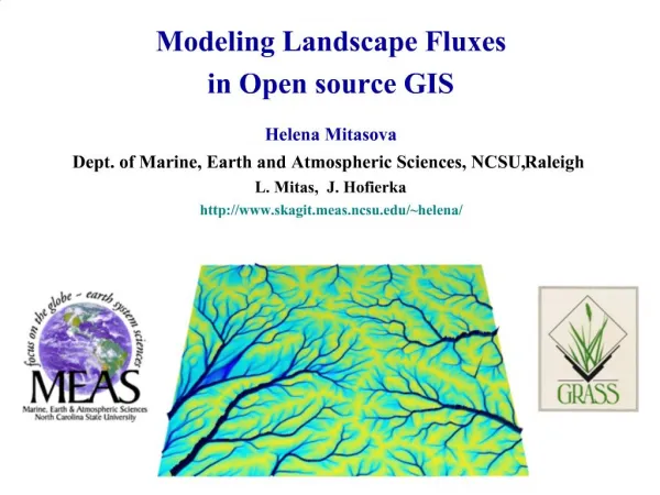
Geoprocessing • When we perform geoprocessing tasks on our data, we are developing the components of a GIS model. • We perform geoprocessing every time we: • Use a tool interactively in ArcMap • Use tools from ArcToolbox • Execute commands using the command line • Connect tools in ModelBuilder • Use functions in a script (like Python)
Static and Dynamic • Static modeling is the series of steps required to achieve some final result. • Available land for development of a nursery • Siting of cell towers • Dynamic modeling is performed in a similar fashion, but has additional parameters requiring several iterations of the model. • Disease outbreak modeling • Real-time traffic analysis • Spread of wildfires, heavy rain, etc.
Why Model? • Developing a model for a GIS analysis allows for repeat testing of a hypothesis using different data. • The model can be coded into a GIS application, so that the steps are performed automatically. • Easier reproduction of results. • Simplification of workflow. • Informs the computer how to conduct a series of steps that would be impractical for you to do manually.
Reproducibility In performing an analysis, you must have your workflow clearly defined. This ensures that you are performing the steps in the correct order using the appropriate tools. Missteps are easy, especially when there can be hours of computer processing between steps. The GIS model can be exported as a graphic flowchart or a modeling data structure.
Workflow Efficiency There are many repetitive steps you will take in your daily workflow. Streamlining the process saves you time. If you always start working in a File Geodatabase with specific resolution and projection information, a model for generating your specialized GDB can be created.
Human Inefficiency • You physically cannot perform the steps as fast as GIS can produce the results. • Certain steps, such as iteration through a feature set would be prohibitively time consuming. • You must perform the same steps 21 times to clip data to each individual NJ county. • Rail use analysis: 200+ stations • Minimize the amount of time spent “babysitting” GIS to perform complex analyses.
How do we model? • ArcGIS has a drag-and-drop interface to ArcToolbox called ModelBuilder allowing you to develop a flow chart of your GIS workflow. • This flowchart is then run step by step to perform your analysis. • ArcGIS allows for custom scripting that can be added to ArcToolbox, introducing greater functionality. • Custom export scripts, specialized versions of existing tools, develop tools not available in ArcToolbox.
Introduction to ModelBuilder Over the past semester, we've performed several geoprocessing tasks We have used geoprocessing tools in sequence to analyze GIS data ArcGIS allows you to link tools together to create a workflow
Homework Flashbacks • You have a set of points, that you want to clip to a county, then find the count of points that fall within each municipality • You have a statewide layer you want to clip to a specific feature, then dissolve • ModelBuilder will allow you to select features, perform tasks like clip, spatial join, merge, etc…
Inside ArcToolbox • Models and Scripts are added to custom toolboxes you create in ArcToolbox. Toolbox Toolset Script Model
Creating a New Toolbox • Creating your own Toolbox is not just for organizational purposes. It allows you to share your models with others. • If you will be sharing your model and using relative addresses, you need to plan the folder location of your New Toolbox carefully. • Default location for a New Toolbox created inside ArcToolbox is: C:\Documents and Settings\<user profile>\Application Data\ESRI\ArcToolbox\My Toolboxes. • Create a new Toolbox by right clicking in ArcCatalog and selecting New Toolbox.
How ModelBuilder Works • Drag layers you want to participate into the model • Drag tools you want to use into the model • Output layers, tables, objects shown in green • Connect the features using arrows • Order matters to certain tools (Clip)
Revisiting Assignment #3 In this assignment, we selected the municipalities in Gloucester County We then selected the KCS within the Gloucester County municipalities Finally, we performed a spatial join on the two layers to find a count of KCS within each of the municipalities
Getting Started • Let's make a new Toolbox to store our models • Make a new model inside the Toolbox • Edit the model
Order Matters 1 2
Order Matters 2 1
Multiple workflows in one Model reclassed road distance non-floodprone layer residential and wetlands plus buffer
Additional Functionality • The Model can be expanded further, with more data and tools • The Model can be exported into a scripting language, allowing for greater modeling capabilities.
Additional Functionality • Python is the default (and recommended) scripting language for ModelBuilder • Cursor-based analysis: For each individual feature in a layer, perform some analysis • For each "vacant" polygon, is it surrounded by environmentally sensitive features? • Count each feature's vertices, rings • Internet access: automatically download data, then analyze
Going Further • A ModelBuilder OverviewAvailable on ESRI's support page • Getting Started Writing Geoprocessing ScriptsAvailable on ESRI's support page • Dive Into Pythonhttp://www.diveintopython.org/ • Learning Python, 3rd Editionhttp://www.oreilly.com/catalog/9780596513986/