Download
1 / 11
320 likes | 992 Vues
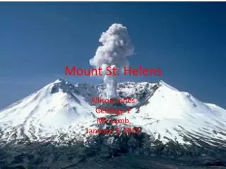
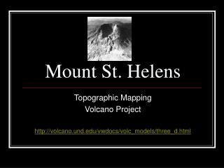
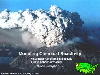
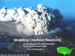
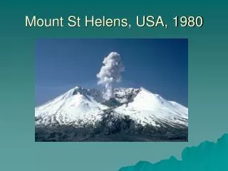
Mount St Helens, USA, 1980. General facts:. Location? Washington, USA Mt St Helens lies on the destructive margin where the Juan de Fuca plate (oceanic) is disappearing below the North American Plate. Height? 8,365 ft (2,550 m) Age of rock? Over 40,000 yrs

E N D
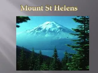
General facts: • Location?Washington, USA • Mt St Helens lies on the destructive margin where the Juan de Fuca plate (oceanic) is disappearing below the North American Plate. • Height?8,365 ft (2,550 m) • Age of rock?Over 40,000 yrs • The volcano is considered the most active in the Cascades.
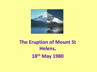
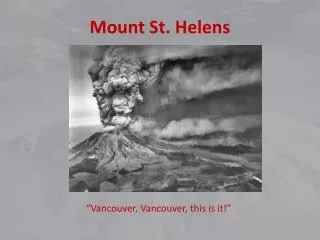
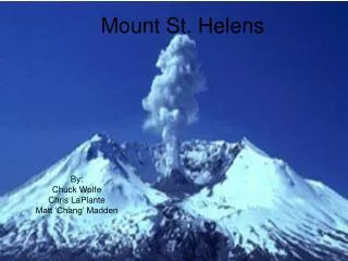
How was it caused? • The eruption of 1980 was caused at the destructive plate boundary between the North-American Plate (continental) and the Juan de Fuca Plate (oceanic). • The eruption was triggered by the sudden injection of magma from the Earth's mantle upward beneath the volcano. The surge of hot, new magma reactivated the system beneath Mount St. Helens, and a series of eruptions resulted.
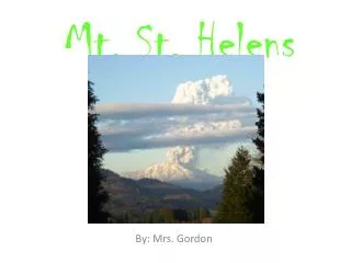
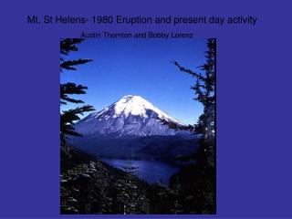
Before the Eruption • After 123 years of silence, Mount St. Helens showed her first signs of life on March 20th with a 4.1 magnitude earthquake centred beneath the volcano. Most northwest newspapers completely ignored this earthquake. • One week later, on March 27th, the mountain released its first puff of ash. No one on the ground knew what had happened at first because the top of the mountain was encased in clouds. The small explosion left a 250 foot wide crater in the otherwise perfect cone.
… • In late April a noticeable "bulge" began to form on the north face of the mountain. The bulge was created by the building pressure of hot gases and magma inside the mountain. All through early May the bulge grew 5 feet per day.
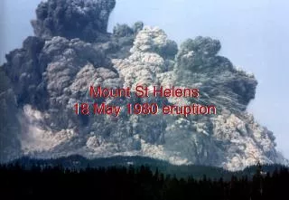
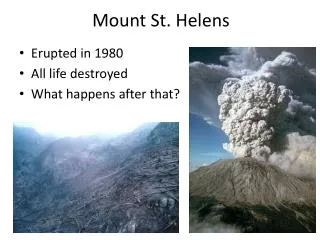
Aftermath: • The 18th May, 1980, event was the most deadly and economically destructive volcanic eruption in the history of the America. • 57 people were killed and 200 homes, 47 bridges, 15 miles of railways and 185 miles of roads were destroyed. • The ash fall created some temporary but major problems with transportation, sewage disposal, and water treatment systems
… • Airports closed from a few days to 2 weeks due to poor visibility and ash acculmulation. • Early estimates of the cost of the eruption ranged from $2–3 billion. • Only a small percentage of residents left the region because of lost jobs due to the eruption. • Several months after May 18, a few residents reported suffering stress and emotional problems, even though they had coped successfully during the crisis. • Initial public reaction to the May 18 eruption nearly dealt a blow to tourism, an important industry in Washington. • It devastated the local economy, which was based on logging the trees of the national forest that surrounded the volcano
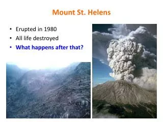
Despite the devastation left behind on May 18th, not everything in the blast zone was destroyed. Areas that seemed like they would never recover have surprised scientists with the resilience of nature. Many animals and plants soon found their way through the thick ash to the surface. Several lakes that were still frozen over went virtually untouched.