Introduction to Geographic Information Systems (GIS): A Basic Overview
290 likes | 312 Vues
Explore the fundamental components of GIS, from spatial and attribute databases to image processing and decision support systems.

Introduction to Geographic Information Systems (GIS): A Basic Overview
E N D
Presentation Transcript
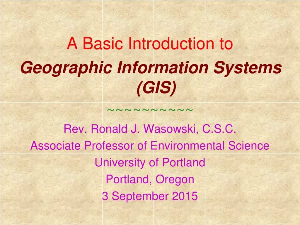
A Basic Introduction to Geographic Information Systems (GIS) ~~~~~~~~~~ Rev. Ronald J. Wasowski, C.S.C. Associate Professor of Environmental Science University of Portland Portland, Oregon 3 September 2015
Introduction to GIS • Geographic Information Systems/Science (GIS) • Computer–assisted system for… • Acquisition • Storage • Analysis • Display …of geographic data • Fundamental components of every GIS • Spatial & attribute databases • Cartographic display system • Map digitizing system • Database management system • Geographic analysis system • Image processing system • Statistical analysis system • Decision support system
The Heart of Every GIS • Two closely related databases • Spatial database • Shape & location of Earth’s features • Subsurface • Surface • Atmosphere • Attribute database • Data regarding a land parcel… • Owner • Value • Use • Basic approaches • Completely separate spatial & attribute databases • Completely integrated spatial & attribute databases • IDRISI’s approach • Option to keep some elements separate
IDRISI’s Cartographic Display System • Display database input • Existing thematic maps • Existing imagery • Display processed output • New thematic maps • Restored, enhanced & classified imagery • Display cartographic output • Composition • Map layers • Annotation • Scale bars • Legend • Output • Hardcopy Various printers & plotters • Softcopy Various graphics formats
IDRISI’s Map Digitizing System • Early IDRISI versions • TOSCA • Present IDRISI version • Existing paper maps • Digitizing tablets • Large-format scanners • Images • Traditional aerial photography • Analog acquisition Digital input • Digital aerial photography & satellites • Digital acquisition Digital input • Supported file formats • TIF / GeoTIFF Tagged Image File format • BMP BitMaP • Related capabilities • CAD & CoGo (Coordinate Geometry)
IDRISI’s Database Management System • DBMS Database Workshop • Traditional Analysis of attribute data • Specialized utilities • Spatialdata • Attribute data Traditional DBMS capabilities • Represent results as an image or map • Related capabilities • AM/FM (Automated Mapping/Facilities Management) • Associated with public utilities Water, electricity … • Allows users to manage & analyze utility network data
IDRISI’s Geographic Analysis System • Ability to… • digitize spatial data • attach attributes to stored features • Analyze spatial data based on stored attributes • map out the result • Analyze joint occurrence of geographic features • Example: Radon risk in residential areas • Map all bedrock types associated with high radon levels • Map all residential areas • Overlay these two maps • Generate a new map for the GIS database
IDRISI’s Image Processing System • Image restoration • Geometry • Not a perfectly polar orbit • Earth rotates under the spacecraft • Sensor banding • E/W for cross-trackscanners • N/S for pushbroom scanners • Image enhancement • Contrast • Color • Edges • Information extraction • Transformations • Multispectral classification
IDRISI’s Statistical Analysis System • Traditional statistical analyses • Single & multivariate statistics • Mean, standard deviation… • Specialized analyses for spatial data • Changes over both space & time • Simple distances & cost distances
IDRISI’s Decision Support System • Decisions regarding resource allocation • Produce models incorporating error into the process • Usually overlooked in GIS analyses • Increases with the number of layers and/or steps involved • Construct multi–criteria suitability maps • Buffer zones+land cover/use type+ … • Water storage + recreation + flood control + … • Address allocation decisions with multiple objectives • Population density +average income+ … • Tree species + tree diameter/height + …
Map Data Representation • Two data types • Geographic definitions of Earth features • Latitude / Longitude, UTM coordinates … • Attributes / characteristics of Earth features • Tree species, diameter, height, health, age … • Representation of those data types • Vector Magnitude + direction • Points, lines & polygons • Scalar [Raster] Magnitude only • Digital numbers [DN] Integer (discrete) & real (continuous)
Vector Data Representation • Defined using (x,y) coordinate pairs • Representation of points in space • Latitude / longitude • UTM (Universal Transverse Mercator) grid • Interpret the coordinate pairs • Points Benchmarks, intersections… • Lines Boundaries, roads, shorelines… • Polygons Fields, land cover areas… • Identify the coordinate pairs • Simple feature identifier numbers • Attributes identified with identical numbers
Raster Data Representation • Areas represented by an array of pixels • No “features” are defined • Each cell is assigned a number • Simple feature identifier numbers • Spectral class numbers • Qualitative attribute code • Ranking from first to last • Quantitative attribute value • Reflectance value in some spectral band • Pixel characteristics • Position Defined by (x,y) pairs • Characteristics • Brightness • Color • Shape
Raster vs. Vector • Raster data representation Analysis oriented • Data intensive • Every pixel must be represented in the spatial database • Space is simply & uniformly represented • Substantially increased analytical power • Ideally suited to study of continuously changing phenomena • Matches computer & digital image architecture • Vector data representation DBMS oriented • Data conservative • Very efficient in storing map data [boundaries] • Can produce simple thematic maps • Pen plotters produce traditional-style maps • Excel at analyzing movement over networks • IDRISI • Elements from both data representation styles
Database Concepts: Organization • Vectors mimic map collections Coverages • Vector systems come closest to this organization • Differ from a collection of maps • Each contains information on only one feature type • Buildings • Roads • Sewers • Each contains a series of attributes about features • Buildings: Owner, age, value, tax rate, tax amount … • Roads: Width, number of lanes, paving material … • Sewers: Diameter, wall thickness, wall material… • Rastersestablish unitary datasets Layers • Building owner • Building age • Building value
Database Concepts: Georeferencing • Coverages (vectors) & layers (rasters) • Reference systems • Latitude / longitude • UTM coordinates Universal Transverse Mercator • State plane coordinates • Reference units • Degrees / minutes / seconds 45° 34' 12" • Decimal degrees 45.57° • Bounding rectangles • North, East, South & West coordinates • Required even if coverages & layers are not rectangles
Unusual Database Characteristics • Scale differences are gracefully handled • Input layers with different pixel dimensions • Landsat MSS 80 m ground resolution cells • Landsat TM 30 m ground resolution cells • SPOT XS 20 m ground resolution cells • SPOT Pan 10 m ground resolution cells • Resolution strategies • Resample pixels to a common size • Multiply number of pixels by a scale factor • Map reference systems are easily changed • Map projections are easily changed • Fully automated • Extremely fast • Metric, British, nautical… • Resolution remains a critical issue
Analysis In GIS • Analytical tools • Database query • Map algebra • Distance operators • Context operators • Analytical operations • Database query • Derivative mapping • Process modeling
Analytical Tools: Database Query • Retrieve stored information from the database • Ask questions by location • What is present at a particular location? • Ask questions by attribute • What attributes does this location have? • Two steps involved • Produce reclassifications from existing layers • Combine similar layers • Pines, firs & cedars all classified as evergreen trees • Produce Boolean layers Masks • 0 [unacceptable] or 1 [acceptable] • Overlay the reclassifications • Logical combinations AND, OR … • Mathematicalcombinations Addition, subtraction …
Analytical Tools: Map Algebra • Combine map layers mathematically • Mathematical modeling absolutely requires this • Mean annual temperature as a function of altitude • Soil erosion a function of erodability, gradient & rainfall • Three kinds of mathematical operators • Modifydata within a single layer • Add, subtract, multiply or divide using a constant • Transformdata within a single layer • Trig functions, log transformations … • Combinedata across multiple layers • Snowmelt = ( 0.19 . Temperature + 0.17 . Dew Point )
Analytical Tools: Distance Operators • Construct buffer zones • Constant distance from a point, line or polygon • Hard boundaries • Evaluate distance to all features in a set • Actual distance to various points, lines or polygons • Soft boundaries • Frictional effects • Cost distances Money, time, effort… • Low frictional costs “Valleys” • High frictional costs “Hills” • Anisotropic costs • Going uphill costs more than going downhill • Barriers • Frictional costs too high to overcome
Analytical Tools: Context Operators • Neighbors often affect one another • Elevation layer produces both slope & aspect layers • Digital filters change the neighborhood • Raster systems well suited to context operators • Surface analysis • Digital filtering • Contiguous areas • Watershed analysis • Viewshedanalysis • Supply / demand modeling
Analytical Operations: Database Query • Database query tools for multiple variables • Apply appropriate procedures • Measurement • Statistical analysis • Key features • Take out only what is in the database(s) • Make a withdrawal from an existing data bank • Key activity • Looking for spatial patterns
Analytical Operations: Derivative Mapping • Knowledge of relationships • Combine selected variables into new layers • Example: Soil erosion potential • Topographic elevations • Slope aspect Compass direction toward which the slope faces • Slope gradient Slope steepness • Soil erodability • Create new data from old data • Ability to produce models • Use map algebra tools • Foundations for those models • Theoretical Basic scientific principles • Empirical Curve-fitting (e.g., regression lines)


