Download
1 / 10
170 likes | 254 Vues
Learn about AmeriGEO Initiative's efforts in promoting disaster resilience, utilizing Earth observations to forecast, prepare for, and manage disasters. Explore pilot examples in Puerto Rico, British Columbia, and St. Louis, demonstrating strategies for data gathering, analysis, and dissemination to aid first responders.

E N D
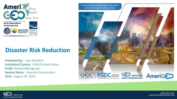
Week 2019 Lima, Peru Disaster Risk Reduction Presented by: Ivan Deloatch Institution/Country: USGS/United States Email: ideloatch@usgs.gov Session Name: Keynote Presentation Date: August 20, 2019 @GEOSEC2025 www.earthobservations.org
AmeriGEO/Unique Value provided by the GEO Flagship, Initiative, or Community Activity AmeriGEO Initiative is a framework that seeks to promote collaboration and coordination among the GEO Members of the American Continent Food Security and Sustainable Agriculture Disaster Resilience Biodiversity and Ecosystem Sustainability The AmeriGEO initiative focuses its efforts in the four Societal Benefit Areas (SBA’s) selected and prioritized by the Americas Caucus Foundational Task – Capacity building providing knowledge and technical means Water Resources Management
Disaster Risk Reduction GEO Priority Engagement Area SENDAI FRAMEWORK FOR DISASTER RISK REDUCTION GEO Supports disaster resilience by increasing coordination of Earth Observations to forecast and prepare for disasters, to reduce damage and to better manage and recover from disasters. Disaster Resilience The Guatemalan government estimated 1.7 Million people were affected when Fuego erupted in 2018 @GEOSEC2025 www.earthobservations.org 3
Advancing Spatial Data Infrastructures for Disasters Number of disaster events have increase substantially over the past 50 years
Advancing Spatial Data Infrastructures for Disasters Demonstrate how data standards help stakeholders and decision makers gain new and beneficial perspectives into social, economic, and environmental issues related to disasters Goals and Objectives Strengthen Partnerships Increase and strengthen current partnerships and expand partnerships with additional stakeholders Outreach & Education Create awareness of the data and services stakeholders provides to support disaster preparedness/resilience Address Needs & Gaps • Better understand community needs and close gaps in data, tools, services, skills and other barriers to using stakeholders and other institutional related services for disasters Usability Pilots Engage a broad community of users through interviews, workshops and pilots to use stakeholder data and services and provide stakeholder feedback on additional needs
Example #1 Hurricane in Puerto Rico RSS Hurricane Feed and Satellite Imagery RSS hurricane feed and satellite imagery When seconds count how can we get decision ready data to first responders to protect communities at risk? GO Mobile route and feature data capture The pilot will demonstrate geo methods to gather, analyze, and disseminate information to first responders to alert them about affected areas with respect to incidents such as infrastructure status, road closures, hospital / care facilities, and weather information during a hurricane.
Example #2 Wildfire in British Columbia, Canada WES feature identification information When wildfire is threatening our communities, how can we better inform the population and direct responders to those at risk? GO Mobile photo and feature data capture The pilot will demonstrate geo methods to gather, analyze, and disseminate information to personnel at high risk areas, taking into account the current weather conditions and winds, road closures, forest types, population demographics, and reported incidents.
Example #4 Flood in St. Louis, Missouri, USA WES SensorHub dashboard When the flood waters are rising, roads and bridges are impassable how can we direct and alert responders? GO Mobile GeoPackage in DDIL environment GeoTIFF over St. Louis area. The pilot will demonstrate geo methods to gather, analyze, and disseminate information to first responders to alert them of affected areas with respect to incidents such as road closures, current traffic information, and increasing water levels.
Week 2019 Lima, Peru Thank you! @AmeriGEOSS Event Website: https://www.amerigeoss.org/amerigeoss-events/amerigeoss-week-2019 Event Documents: https://data.amerigeoss.org/group/amerigeoweek2019 Disaster Pilot Demonstrations: https://www.youtube.com/playlist?list=PLQsQNjNIDU84zs69bNX__QfZZCTHbq5YN @GEOSEC2025 www.earthobservations.org