Download
1 / 7
70 likes | 257 Vues
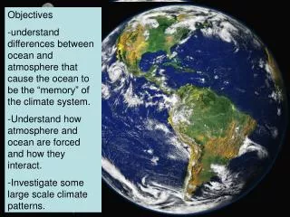
The Big Picture: missions to measurements & satellites to snorkels. NASA Ocean Biology Processing Group Goddard Space Flight Center, Greenbelt, Maryland, USA SeaDAS Training Material. Why use satellites to study the marine biosphere?.

E N D
The Big Picture: missions to measurements & satellites to snorkels NASA Ocean Biology Processing Group Goddard Space Flight Center, Greenbelt, Maryland, USA SeaDAS Training Material SeaDAS Training ~ NASA Ocean Biology Processing Group
Why use satellites to study the marine biosphere? NASA funds in situ sampling programs in support of its satellite calibration and validation activities. Here is the distribution of in situ data collected during the MODIS-Aqua era (June 2002 to present). SeaDAS Training ~ NASA Ocean Biology Processing Group
Why use satellites to study the marine biosphere? SeaWiFS and MODIS-Aqua provide a daily, synpotic view of the Earth. Here is the distribution of MODIS-Aqua observations for one day (1 February 2008). SeaDAS Training ~ NASA Ocean Biology Processing Group
VIIRS- NPOESS VIIRS-NPP S-GLI POLDER-Parasol GLI POLDER MODIS-Aqua MERIS MODIS-Terra SeaWiFS OCTS POLDER CZCS MOS OCM OCI OSMI MISR 1980 1990 2000 2010 The value of ocean color satellites has been realized … ocean color satellite missions: 1978-2010 and beyond SeaDAS Training ~ NASA Ocean Biology Processing Group
The goal of ocean color science at NASA missions to measurements: a consistent series of systematic ocean color measurements from multi-instrument, multi-platform, and multi-year observations based on accurate and uniform calibration and validation over the lifetime of the measurement global accuracy goals for climate data records: * water-leaving radiances, Lw(): ± 5% absolute uncertainty at 443-nm in clear water * chlorophyll-a concentration, Chl: ± 35% over a range of 0.05 to 50 mg m-3 SeaDAS Training ~ NASA Ocean Biology Processing Group
Philosophy of the OBPG missions to measurements requirements for success: expertise, both internal and external infrastructure data open and continuous communication intuitive and efficient data distribution community access to data processing / analysis tools SeaDAS Training ~ NASA Ocean Biology Processing Group
The biosphere while you’re waiting for the animation, visit: http://oceancolor.gsfc.nasa.gov http://oceancolor.gsfc.nasa.gov/forum/oceancolor/forum_show.pl SeaDAS Training ~ NASA Ocean Biology Processing Group