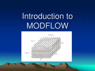
MODFLOW Data Model
MODFLOW Data Model. An extension of the Arc Hydro Groundwater Simulation feature dataset. MODFLOW Data Model. Data standard for storing MODFLOW models in a GIS database Importing models built externally Archiving calibrated models Building new MODFLOW models inside ArcGIS


MODFLOW Data Model
E N D
Presentation Transcript
MODFLOW Data Model An extension of the Arc Hydro Groundwater Simulation feature dataset
MODFLOW Data Model • Data standard for storing MODFLOW models in a GIS database • Importing models built externally • Archiving calibrated models • Building new MODFLOW models inside ArcGIS • Custom scripts for analyzing/modifying models can be developed as geoprocessing tools
Boundary Polygon J I
Cell2D and Node2D Features Cell2D Node2D
Arc Hydro Groundwater WPCGmP Cell3d animation
MODFLOW Analyst Tools • Developed as geoprocessing (GP) tools • Classes of tools • Import • Export • Visualization/Map Layers • Model editing • Building package input • Working with transient input/solutions
Import MODFLOW Model Tool INPUT OUTPUT
Make MODFLOW Features Tool + Or Node2D Cell2D INPUT OUTPUT
Build Package Input • Discretize: • Spatial • Polygons K zones (overlay) • Points K values (interpolate) • Polylines River cells • Points Wells • Temporal • Time Series Stress Periods
Geoprocessing Tools - Workflows • GP tools enable the development of workflows as models or scripts • Extendable – You can create your own workflows • Leverage low-level tools to create new tools
For more information http://www.archydrogw.com (AHGW Wiki page) http://www.aquaveo.com/archydro (Info on tools) Norm Jones njones@byu.edu 801-422-7569 Jeff Davis jdavis@aquaveo.com 801-835-7445