Download
1 / 8
80 likes | 246 Vues
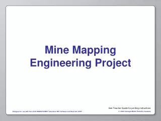
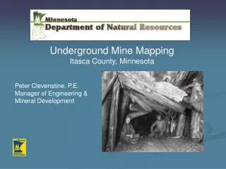
Underground Mine Mapping Itasca County, Minnesota. Peter Clevenstine, P.E. Manager of Engineering & Mineral Development. Disclaimer.

E N D
Underground Mine Mapping Itasca County, Minnesota • Peter Clevenstine, P.E. Manager of Engineering & Mineral Development
Disclaimer The Minnesota Department of Natural Resources makes no representation or warranties, express or implied, with respect to the reuse of data provided herewith, regardless of its format or the means of its transmission. There is no guarantee or representation to the user as to the accuracy, currency, suitability, or reliability of this data for any purpose. The user accepts the data 'as is', and assumes all risks associated with its use. By accepting this data, the user agrees not to transmit this data or provide access to it or any part of it to another party unless the user shall include with the data a copy of this disclaimer. The Minnesota Department of Natural Resources assumes no responsibility for actual or consequential damage incurred as a result of any user's reliance on this data.
Phase 3 Work Tasks • Research the study area • Collect and organize maps of known underground mine workings. • Scan plan maps and sections • Develop GIS coverages • Link the scanned images to specific mine parcels. • Identify other potential areas
Peter.Clevenstine@dnr.state.mn.us 218-231-8443 mndnr.gov