Download
1 / 32
320 likes | 443 Vues
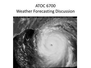
This summary discusses the weather conditions from June 7 to June 9, 2011. A ridge building to the east brought hot and dry air across the region, leading to persistently high temperatures. On June 7, hot, dry conditions began, continuing into June 8. By June 9, the ridge was still influential but was expected to weaken over the weekend. Notable observations included a heat burst in Wichita, KS, with hourly observations and data from Dodge City. For more detailed weather observations, visit the National Weather Service website.

E N D
Weather Discussion June 7 - June 9 2011
Summary • Tues 6/7- Ridge building to our east will bring hot/dry air • Wed 6/8- Hot and dry conditions continue (associated with ridge over us) • Thurs 6/9- Ridge still over us but expected to weaken throughout the weekend • Wichita, KS- Heat burst: hourly observations, infrared satellite, radar, soundings for Dodge City
Wed Morning 12Z
Wichita Heat Burst: Hourly Obs http://www.weather.gov/data/obhistory/KICT.html
June 09 04 UTC
June 09 04 UTC
June 09 00 Z (Last Night)
Dodge City June 09 12Z (Morning)