Download
1 / 30
300 likes | 312 Vues
The Lockwood TEDD infrastructure master plan revisited with a focus on water, wastewater, flood protection, and transportation. The plan includes analysis, impacts, and costs associated with existing and future infrastructure needs.

E N D
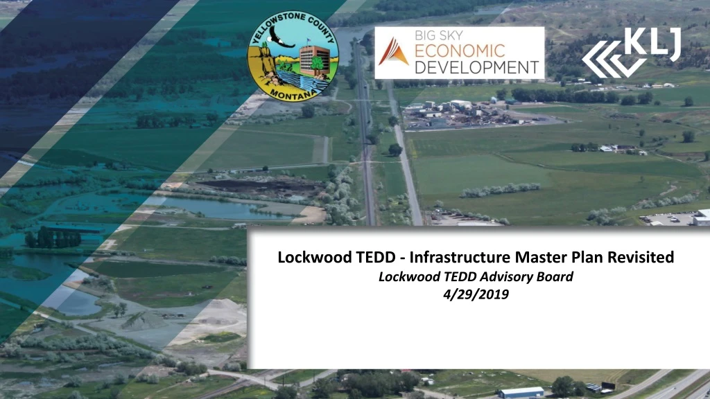
Lockwood TEDD - Infrastructure Master Plan Revisited Lockwood TEDD Advisory Board 4/29/2019
TEDD Master Plan Stakeholders County Commissioners and Steering Committee Members: • Allison Corbyn, Big Sky Economic Development • Bob Riehl, Committee Chair • Chief John Staley, Lockwood Fire Department • Cory Moore, formerly Hardy Construction • Dianne Lehm, Big Sky Economic Development • Katy Easton, formerly Big Sky Economic Development • Kevin Gustainis, Montana Peterbilt • Marshall Knick, Pacific Steel and Recycling • Mike Aritizia, Lockwood Water & Sewer District • NicTalmark, Trane Inc. • Robin Rude,. Montana Department of Revenue • Scott Walker, City of Billings • Steve Arveschoug, Big Sky Economic Development • Terry Seiffert, Property Owner • Tim Miller, Yellowstone County • Tobin Novasio, Lockwood School District • Vu Pham, formerly Weave Management • Woody Woods, formerly Lockwood Water and Sewer District
Lockwood TEDD Basic Infrastructure • Water/Wastewater • 20 Year & Full Build • Flood Protection • New Flood Data • Transportation • Full Build & System Phasing • MDT Coordination • Rail • Full Build Rail Options
Lockwood Industrial Park – Understanding Infrastructure Needs Identification of infrastructure needs to support the existing TEDD requires additional evaluation of adjacent properties of significance within the original TEDD Study Boundary.
TEDD Study Area – Long Range Infrastructure Needs • Initial TEDD (as of 2017) • 558.1 Acres • Group A • Additional 268.1 acres • Properties interested in joining TEDD • Group B • Additional 213.8 acres • Previously not interested in joining TEDD • Well situated for development • Group C • Additional 399.7 acres • Development impacts TEDD infrastructure sizing
TEDD Study Area – Long Range Infrastructure Needs • Initial TEDD (as of 2017) • 558.1 Acres • TEDD Expansion • Additional 624.1 acres • Covered most of groups A & B
TEDD Study Area – 20-Year Development • Existing TEDD (2017) • 377.2 Acres Developable • Group A • 120.5 Acres Developable • Group B • No Interest in Inclusion in TEDD at this time • 0 Acres Developed • Group C • 164.9 Acres Developable
Lockwood Water & Sewer Analysis: Assumptions Water demands and wastewater flows were estimated based on select existing industrial users in the LWSD service boundary. These assumptions are critical to the analysis which should be updated as actual development types are narrowed.
Lockwood Water & Sewer Analysis Impacts to the existingLockwood Water and Sewer District facilities were analyzed based on the estimated water demands and wastewater flows.
Why water and sewer service is critical State and Federal regulations limit development of the area without water and sewer service. • International Fire Code requires automatic sprinkler systems for buildings larger than 12,000 sf (100’ X 120’). Average US commercial building was 19,000 sf from 2000 to 2012. • Montana ARM 17.36.323(1) says wastewater drain fields shall be set back at least 100 feet from flood plains. Approximately half of the TEDD study area is located within the regulated flood hazard area. • Montana ARM 17.36.321(3) says fill systems and holding tanks may not be used as new wastewater disposal systems.
Water/Wastewater • Potential Network • Analysis was completed to connect the TEDD with the existing LWSD system. A network of water and wastewater infrastructure was developed to ensure connectivity of the TEDD and adjacent areas. • 8” Gravity Sewer along potential road network • 10-12” Water Main along potential road network • 6” Force Main along Coulson Rd. • Lift Station SW of Town and Country • Assumes pumping TEDD Wastewater to Old Hardin/Johnson Lane (bypass Firth Lift Station)
Water/Wastewater Costs Water and Sewer Questions?
Flood Plain Development Standards • Important Regulations: • Montana ARM 36.15.702(2) says new commercial structures shall be flood proofed (wet or dry) to 2’ above the base flood elevation. • Montana ARM 36.15.703(2) says storage toxic, flammable, hazardous, or explosive materials is not allowed in the flood fringe. • Permitting Process: • Structures and improvements not involving the prohibited uses require a Floodplain Development Permit through the local floodplain administrator. • Natural high ground can be removed from regulated flood hazard area based on superior data by Letter of Map Amendment (LOMA) through FEMA. • Filled areas or proposed structures can be removed from regulated flood hazard area by Letter of Map Revision (LOMR) through FEMA.
Flood Risk Reduction Options • Removal From Floodplain via LOMA • Properties that should be removed from floodplain via Letter of Map Adjustment (LOMA) • Most Imminently developable • Zone X (Less than 1 ft of flooding) • Still able to be removed via LOMA, although more difficult • Next in order of ease of development • Previously Filled • Previously developed property • Shallow Fill • Properties that could be developed with less than 4 ft of fill required • Deep Fill • Greater than 4 ft of fill required, unlikely to develop • Other Areas in Floodplain • Deep fill + existing ponds, difficult to fill Potential Levee System
Flood Risk Reduction Options • Option 1 - Incremental Fill • Limits developable area, requires significant borrowing, modelling on case-by-case basis • Cost: $3,850,000 • Option 2 – Mass Fill • Larger development area, single permit process, Existing flood modelling already completed as part of MDT Billings Bypass project • Cost: $18,630,000 • Option 3 – Levee System • Maximum developable area, allows maximum flexibility, single permitting process completed upfront, greater value added towards future development, Existing flood modelling already completed as part of MDT Billings Bypass project. • Cost: $64,825,000 • Floodplain Questions?
Transportation System – Potential Network • Coordinated with Billings Bypass • Focused on TEDD Study Area • Develop in Phases • Resurface/Refurbish Existing and Construct New • Provide Immediate Access to Existing TEDD First • Accommodate Rail Options
Lockwood Multiuse Trail Bypass Trail Connection • Funding secured to bring trail across Yellowstone River bridge, connecting the Heights to the Lockwood TEDD as part of Phase 2 of the Bypass; • Coordinate trail termi (in TEDD) with future Johnson Lane Trail. Johnson Lane Multiuse Trail • Additional concept development needed for multiuse trail segment along Johnson Lane; • Secure funding for multiuse trail along Johnson Lane once a more detailed trail alignment has been set.
Transportation System – Phasing Plan • Implement in coordination with Bypass • Phase I • Improve Portions of Coulson Rd (#4) • Extend Segments from Bypass Intersections to Feed TEDD Properties (#1 & #8) • Build/Improve extension of Frontage Road (#5) • Phase II (REVISED) • Improve Johnson Lane/Farley Lane (#6 & #7) • Phase III (REVISED) • Realign Coulson Rd E to Align with I-94 Underpass and Existing Railroad Crossing and (#2) • Extend Watson Road (#3) MDT Bypass Phases Not Shown: 1: Five-Mile Road 6: Mary Street 3
Transportation System – Trip Generation • Study Area Split into Four Quadrants for Purpose of Analysis • Expanded MDT Assumptions • MDT = 50 Acres in Trailhead Commerce Park • Over 450 Acres of Development Assumed over 20-Year Time • Surface Transportation Questions?
Rail Infrastructure Options Proposed Options • Expand Lockwood Siding • Expand Town & Country & Pacific Steel (Eastside) • Develop New Siding (West Side) • Loop Track Development (West Side)
Rail Infrastructure – Phasing • Rail options are a “menu” approach; development will drive implementation • Cost share between TEDD, benefiting + adjacent developments and MRL
Implementation • Represents assumption on build out of the Lockwood TEDD over next 15 years • Assumes some investment in infrastructure not directly related to the TEDD • Ensures efficient extension of infrastructure
Action Plan & Work Program • Formation of TEDD Advisory Board - Completed • Determination of Water Supply/Wastewater Needs – In Progress • TEDD Expansion - Completed • MDT Coordination - Ongoing • Adjustments to Billings Bypass Phasing • Coulson Road Bridge • Flood Protection • Montana Rail Link / BNSF - Ongoing • Lockwood Multi-use Trail - Ongoing
Strategic Planning Process • Revisit Infrastructure Master Plan - Today • Individual Property Owner Meetings – (Coming Weeks) • Have a better idea of development pattern or target industries • Assess infrastructure needs • Identify projects to address needs • Refine priorities with stakeholders – (May 2019) • Identify funding sources and feasibility – (May/June 2019)