Download
1 / 33
330 likes | 359 Vues
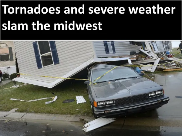
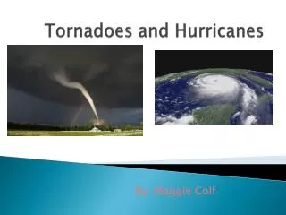
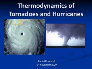
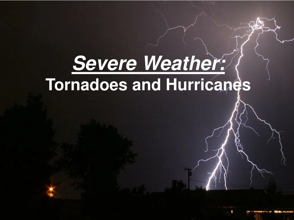
Learn about the characteristics, formation, and dangers of tornadoes and hurricanes. Discover where they occur, how to stay safe, and the devastating effects they can have. Be prepared for severe weather!

E N D
Grab Toto!! TORNADOES • Are a low pressure storm that usually forms over land • in an average year, 800 tornadoes are reported in the U.S. • a tornado is defined as a violently rotating column of air extending from a thunderstorm to the ground… the rotating column of air is called the vortex • the vortex is only visible when debris and dirt gets carried up with the winds THE HOOK
Where do they come from? Tornadoes come from the energy released in a thunderstorm. What makes them dangerous (as compared to hurricanes) is that their energy is concentrated in a small area, only a hundred yards across
When & Where do they occur? Most common east of the Rocky Mountains and west of the Appalachian Mountains. They occur mostly during the spring and summer (April-June) They usually occur during the late afternoon and early evening. Usually happen along cold fronts
Did You Know…. • - A tornado is as a rotating, funnel-shaped cloud that extends from a thunderstorm to the ground with whirling winds that can reach 300 mph. • - Damage paths of tornadoes can be in excess of one mile wide and 50 miles long. • Tornadoes can accompany tropical storms and hurricanes once on land. Its super important to be prepared for a tornado, so make sure you have a disaster plan for your pets too! • - Rotating thunderstorms are the best predictors of tornado activity. They are well defined thunderstorms on radar that may include hail, severe winds, lightning, or flash floods. • - Tornadoes can occur when a warm front meets a cold front, forming a thunderstorm, which then can spawn 1 or more “twisters."
Is Everyone paying attention?? - Most twisters or cyclones travel from southwest to northeast and can move in the opposite direction for short periods of time. A tornado can even backtrack if it is hit by winds from the eye of the thunderstorm. - Funnel clouds usually last less than 10 minutes before dissipating, and many only last several seconds. On rare occasion, cyclones can last for over an hour. A tornado may appear nearly transparent until dust and debris are picked up or a cloud forms within the funnel. - Twisters strike predominantly along Tornado Alley — a flat stretch of land from western Texas to North Dakota. This region is a hotspot for tornadoes because the dry polar air from Canada meets the warm moist tropical air from the Gulf of Mexico. - Tornadoes are most likely to occur between 3 pm and 9 pm, but can occur at any time. - In the southern states, peak tornado occurrence is March through May, while peak months in the northernmost states are late June through August.
How long is a tornado usually on the ground? Can range from a few seconds to several hours ... 5 minutes is average How fast do tornadoes move? Movement can range from virtually stationary to more than 60 miles per hour ... Average is 10-20 miles per hour.
Watch—means conditions are favorable for tornado to develop. These watches are issued for large areas by the Storm Prediction Center in Norman, Oklahoma, and are usually valid for five to eight hours. Warning—Strong rotation in a thunderstorm is indicated by Doppler weather radar or a tornado is sighted by Skywarn spotters or other persons, such as local law enforcement.
THE WIND! • Take a look at this piece of wood that was driven into the palm tree. LOOK AT IT MAX
LOOK AT THESE
MEASURING DESTRUCTION The Enhanced Fujita Scale rates tornadoes based on the amount and type of wind damage produced.
EF-0. Light damage Wind 65 to 85 mph. Causes some damage to siding and shingles
EF-1. Moderate damageWind 86 to 110 mph. Considerable roof damage. Winds can uproot trees and overturn single-wide mobile homes. Flagpoles bend.
EF-2. Considerable damageWind 111 to 135 mph. Most single-wide mobile homes destroyed. Permanent homes can shift off foundation. Flagpoles collapse. Softwood trees debarked.
EF-3. Severe damageWind 136 to 165 mph. Hardwood trees debarked. All but small portions of houses destroyed.
EF-4. Devastating damageWind 166 to 200 mph. Complete destruction of well-built residences and large sections of school buildings
EF-5. Incredible damage. Wind +200 mph. Significant structural deformation of mid- and high rise buildings. Strong frame houses leveled off foundations and swept away; automobile-sized missiles fly through the air in excess of 100 yards
At 9:45 p.m. on May 4, 2007, Greensburg was hit by an EF5 tornado. The tornado was estimated to be 1.7 miles (2.7 km) in width and traveled for nearly 22 miles (35 km). Ninety-five percent of the city was confirmed to be destroyed, with the other five percent being severely damaged. The National Weather Service estimated winds of the tornado to reach 205 mph (330 km/h). This was the first tornado to ever be rated EF5 since the update of the Fujita scale.
HURRICANES • Low pressure systems that form over warm, tropical waters near the equator • Most form between 5 and 20 degrees north latitude — they almost never form in the South Atlantic
Different names are given to hurricanes depending on where they form • Atlantic—we call them hurricanes • Pacific—they are called typhoons • 3. Indian Ocean—they are called cyclones
Mature hurricanes average about 350 miles across • They have the lowest barometric pressures ever recorded with any storm (905 millibars is lowest recorded) • These huge air pressure differences is what creates the rapid, inward spiraling of winds
Who Let Olivia Drive the boat??? Katrina 2005 Matthew 2016
HURRICANE DEVELOPMENT When winds have developed speeds from 39 to 73 miles per hour, it is called a tropical storm (storms are given names when they begin to have winds of this speed). 2005 Katrina Developing
The storm becomes a hurricane when it reaches a wind speed of over 74 mph Hurricane Formation
When a season is very active, Greek letters are used to name tropical storms after the letters of the alphabet had been used.
THE END OF A HURRICANE When a hurricane travels over land or cold water, its energy source (warm water) is gone and the storm weakens, quickly dying.
HURRICANE SEASON • Occurs from June through November • Most hurricanes form during the late summer months because the ocean is still retaining heat from the warmer earlier months
MEASURING DESTRUCTION • We use the Saffir-Simpson scale to rank hurricane intensities Saffir-Simpson Scale Video Clip on Wind Tunnel
STORM SURGE ACCOUNTS FOR 90% OF HURRICANE-CAUSED DEATHS
Category 5 Status includes: Hurricane Wilma (October 2005) -- Gulf of Mexico, Yucatan Peninsula, Mexico, Cuba, and Southern Florida Hurricane Rita (September 2005) -- hit Texas, Louisiana Hurricane Katrina (August 2005) -- hit southern Louisiana, Mississippi and Alabama Hurricane Isabel (September 2003) -- hit North Carolina, Maryland, Delaware, Virginia, and Washington, D.C. Hurricane Andrew (August 1992)-- hit southeastern Florida and southeastern Louisiana Hurricane Camille (August 1969) -- hit Mississippi, SE Louisiana, and Virginia