Summertime Air mass example
Much cooler cP air mass over the northern midwest. mT air mass over NY. Normal cT air mass over desert. Summertime Air mass example. Soundings. Notice differences in surface T, T d , tropopause height and temperature. Also, APX has a frontal inversion separating the air masses. cP. mT.
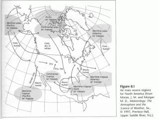

Summertime Air mass example
E N D
Presentation Transcript
Much cooler cP air mass over the northern midwest mT air mass over NY Normal cT air mass over desert Summertime Air mass example
Soundings Notice differences in surface T, Td, tropopause height and temperature. Also, APX has a frontal inversion separating the air masses. cP mT
cA air mass from Canada to the Gulf coast Despite the wind, probably still mT in south Florida Wintertime Air mass example
Soundings Davenport, IA Key West, FL cA mT
More Soundings Tucson, AZ Albany, NY cT mP
Cold Air Damming of Arctic Air Masses (April 7, 2003)
cA air mass Northeast winds on the east side of the High
Northeast winds will drive air toward the Appalachian Mountains. That barrier is the “dam” (map from the Johns Hopkins University Applied Physics Laboratory, fermi.jhuapl.edu/states/)
IAD Air is “dammed” up against the mountains. The mT air to the south can’t displace it.
Not much happening at Albany other than the cold surface air.
Dulles (IAD), however, shows two distinct air masses, cA from the surface to 800 mb, much warmer aloft, possibly mT)
Another cold air damming case (Dec 7, 2004) As the air “piles up” a pressure ridge forms
Albany is showing cold low-level temperatures with warmer temperatures aloft. The low-level winds are from the southeast.