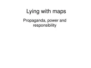
How to Lie with Maps
490 likes | 1.09k Vues
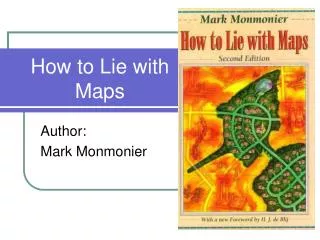
How to Lie with Maps. Author: Mark Monmonier. Maps are not infallible. "The image on a map is drawn by human hands, controlled by operations in a human mind.” John Kirkland Wright in 1942. An Example- What’s the problem here?.

How to Lie with Maps
E N D
Presentation Transcript
How to Lie with Maps Author: Mark Monmonier
Maps are not infallible. • "The image on a map is drawn by human hands, controlled by operations in a human mind.” • John Kirkland Wright in 1942.
An Example- What’s the problem here? • Here a person has identified all the states to which they’ve been • However, a more accurate map shows them to not be so well traveled. http://www.urbanarchives.org/wordpress/2006/02/10/how-to-lie-with-maps/print/
How do they lie? • Through: • Selection- Choosing what to show • Simplification- choosing to take a complicated shape and make it simple • Displacement- moving things from their location • Smoothing- making jagged shapes rounded • Enhancement- causing shaped to look like we expect, rather than how they really are • Aggregation- merging shapes together
Examples http://www.enchantedlearning.com/geography/mapreading/
One is located near you… • Advertising maps emphasize convenience and de-emphasize their competitors.
What have they done here? 1881- The railway line looks complete- but there aren’t any station stops in western Canada. It hadn’t been finished yet.
Washington D.C. Metro Van Dorn Street is east rather than North of Springfield.
Who drew this map? Portland, Oregon The street map on the left ignores the physical geography which prevents a neat grid from being formed.
Deliberate Mistakes: • The British Ordnance Survey (national mapping agency) includes small deliberate errors on maps including: • an extra stream tributary • imaginary farm outbuildings • tiny kinks in rivers • exaggerated curves in roads • missing apostrophes The town of Torquay is misspelled- deliberately? The coastline is also distorted slightly.
Mistake becomes reality? • Otto G. Lindberg and his assistant, Ernest Alpers, were traveling in the New York Catskill Mountains. They came across a deserted dirt road intersection scrambled their initials to name it "Agloe" as a “key trap” on the Esso maps. http://www.ianbyrne.free-online.co.uk/special/error2.htm
More mistakes: • This Atlas of Europe has a mistake on one page where they omit all place names unless they have AS24 stations (a commercial gas station). • Berlin is therefore left off the map http://www.ianbyrne.free-online.co.uk/special/error2.htm
Politics as usual… • Purposes for political maps: • Who is in charge of the US? Republicans or Democrats. • How often do people vote for the majority party? Does this really make them a majority? • Propaganda the most common use for political map.
This one shows a gradient of color- showing counties weren’t only for one party or another.
This shows that the geographic area of the majority may not express the feeling of the population majority.
Common lies on political maps • Misleading labels • Exaggeration of features! • Distortion via projection • Let’s make the land look bigger! • Want it? Let’s just take it on paper! • Annexation of land
Disputed Territory What would happen if India (or the surrounding countries) put the disputed territories on their maps as sovereign territory? http://en.wikipedia.org/wiki/Wikipedia:Featured_picture_candidates/Blank_locator_map_of_India
Census Data • MANY ways to lie with this kind of information. • MANY misunderstandings of this information. • How do you know people didn’t lie when filling out the form? • Who says the right people got the form? • How do you know what all the numbers represent? • How accurate is the data when you don’t see the results for two years?
Colors and symbols: • The colors given to a particular object on the map are specific • Green = natural • Red= danger • Symbols and their sizes give information as well http://www.greenpeace.org/usa/assets/binaries/map-of-l-a-chemical-plants
The Bottom Line • Lies on maps are not always bad. • Sometimes they are even necessary in order to show other accurate information. • There are many different types of lies. • Scale, distortion, omission, addition • Always be skeptical of the information you see, this does NOT mean you can’t trust it, just know where it’s coming from! • Think about bias and point of view as you would with any other document.