Lying with maps
Lying with maps. Propaganda, power and responsibility. Where we are going today…. Maps as political How to lie Why to lie Gerrymandering Geographic techniques and moral responsibility. All maps are political…. Why?

Lying with maps
E N D
Presentation Transcript
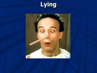
Lying with maps Propaganda, power and responsibility
Where we are going today… • Maps as political • How to lie • Why to lie • Gerrymandering • Geographic techniques and moral responsibility
All maps are political…. • Why? • Because all communication is political and maps are a form of communication. • Maps reflect the interests of their producers
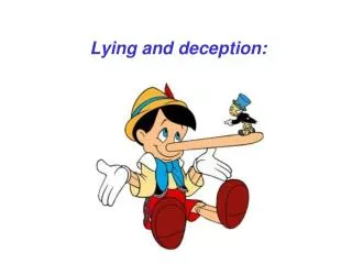
How to lie… • Scale, Manipulating distortion…or using it.. • Omission…. • Classification • Symbology
How to lie… • Scale, Manipulating distortion…or using it.. • Omission…. • Classification • Symbology
How to lie… • Scale, Manipulating distortion…or using it.. • Omission…. • Classification • Symbology
Why lie with maps? • Self-promotion / advertising • Political / Propaganda • The case of Gerrymandering
Why lie with maps? • Self-promotion / advertising • Political / Propaganda • The case of Gerrymandering
Why lie with maps? • Self-promotion / advertising • Political / Propaganda • The case of Gerrymandering
“gerrymandering” B B B C C C C C B B B C C C C C A B B B C C C C A B B B C C C C A A B B C C C C A A B B C C C C A A B B C C C C A A B B C C C C A A A A B B C C A A A A B B C C A A B B B B B C A A B B B B B C A A A A B B B C A A A A B B B C A A A A A A B B A A A A A A B B Gerry Mander (1814) Massachusetts kormányzója
Geographic techniques and moral responsibility… • History…Maps and empire… • “to map the land was to own it and make that ownership legitimate” J.B. Harley. (p. 245) • Authority … of science and of objectivity.
Geographic techniques and moral responsibility… • Place names…. • Decoding, recoding, and possession
Geographic techniques and moral responsibility… • Future • GPS, GIS, surveillance and the things we don’t want mapped…
With the rash of recent high profile abductions in the USA there has been an increase in awareness of child security and the need to have a rapid response system that can locate abducted children. The problem is not new. Every year 100's of children are abducted by strangers or relatives sometimes with tragic results.The "Kinder Guard" concept is designed to assist law enforcement in locating abducted children. Perhaps best described as a LowJack system for children. It is a miniature device that attaches to a child's clothing disguised as an every day item so that it avoids detection. Battery operated, it sends out intermittent signals that can be traced using Global Positioning System technology to with in a matter of 1,000 square feet allowing authorities to rapidly converge on the point of the signal.The company hopes that this system never needs to be used. However, in the real world there are individuals who harbor ill will toward society's most vulnerable. It is our sincere expectation that we are able to contribute to making their world truly a "SAFER PLACE."
With Alzheimer's, mental illness on the rise an ELDER FINDER (an adaptation of the KINDER FINDER) becomes a necessity for families with loved ones who suffer from short and long term mental loss.A protective device that will allow family members, nursing aids, etc., to be constantly aware of the whereabouts of their loved ones or their charge • From: http://www.emtigroup.com/products.html
Geographic techniques and moral responsibility… • Future • GPS, GIS, surveillance and the things we don’t want mapped… • What responsibility do we have as educated operators of this spatial technology?
GIS "live map" functions, when combined with capabilities of location identification devices (GPS, personal inertial guidance, etc.), facilitate tracking the movement of high-risk inmates or at-risk personnel throughout any facility or area. • From: http://www.esri.com/industries/lawenforce/business/corrections.html
Incorporate our video mug shot system into GIS • Apply Digital Camera technology to place photographic images of locations into GIS (gang hangouts, graffiti, layouts of homes from search warrants, etc.) • http://www.salinaspd.com/GIS_VB.html
Geographic techniques and moral responsibility… • Future • GPS, GIS, surveillance and the things we don’t want mapped… • What responsibility do we have as educated operators of this spatial technology?