Download
1 / 25
250 likes | 320 Vues
Explore the physical processes shaping Earth's land, including plate tectonics, continental drift, and erosion. Learn how tectonic forces and surface processes interact to create diverse landforms. Discover the history of Pangaea and the formation of key land features like the Himalayas and rift valleys. Unveil the secrets of Earth's crust and the significance of sediment in landscape formation.

E N D
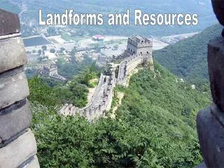
CHAPTER 4, SECTION 1 Landforms, Water, and Natural Resources Section 1: Landforms Section 2: The Hydrosphere Section 3: Natural Resources
Chapter 4, Section 1Landforms Objectives: • What physical processes inside Earth built up the land? • What physical processes on Earth’s surface wear down the land? • How do these physical processes interact to create landforms?
Core – Earth’s center; temperature and pressure are very high Mantle – the zone that has most of Earth’s mass Magma – liquid rock within Earth; when it spills out onto the Earth’s surface it is called lava. Magma erupts from vents called volcanoes. Identify / Define:
Plate tectonics – Earth’s crust is divided into more than a dozen rigid, slow-moving plates. The plates can be compared to the cracked shell of a hard-boiled egg. The theory of plate tectonics explains how forces within the planet create landforms. Identify / Define:
Continental drift – plates move across the upper mantle, usually less than an inch per year. This is called continental drift. Rift Valleys – a few spreading plate boundaries lie under continents. In these places, the crust stretches until it breaks forming rift valleys. Identify / Define:
Abyssal plains – the world’s flattest and smoothest regions. Folds – places where rocks have been compressed into bends. Faults – places where rock masses have broken apart and moved away from each other. Identify / Define:
Sediment – weathering breaks rock into smaller particles of gravel, sand and mud called sediment Glaciers – thick masses of ice; erodes rock and moves sediment plateau – an elevated flatland that rises sharply above nearby land on at least one side. Identify / Define:
Alluvial fan – fan-shaped deposit of mud and gravel often found along the bases of mountains. Delta – if sediment accumulates at the mouth of a river, where it meets the ocean, it can create a delta. Identify / Define:
Section 1Landforms Forces on Earth’s surface: Weathering and erosion shape the land. • weathering—slow and hard to detect; includes chemical and physical processes • erosion—movement of surface material—by water, wind, and ice—wears down land. Water is the most important force of erosion
The Interior of Earth Look at the graphic on page 63 of your book.
Section 1Landforms Plate tectonics create landforms: Earth’s crust is made up of moving plates, which can 1) spread, 2) collide, and 3) slide laterally past each other. • Spreading plates form oceanic ridges undersea and rift valleys on land. • Colliding plates cause trenches and volcanoes undersea and mountains on land.
Section 1Landforms Plate tectonics create landforms: • Plates sliding laterally cause fractures and earthquakes.
Section 1Landforms Tectonics and surface forces interact: • Landforms are created through a combination of forces. • For example, a mountain range is formed by tectonics, then weathered and eroded to create valleys, alluvial fans, deltas, and other landforms. • A plain often is the final stage of a landscape wearing smooth.
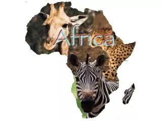
Section 1Landforms Plate Tectonics • Scientists believe that 200 millions years ago all the continents were part of one supercontinent called Pangaea. They believe the theory of plate tectonics explains the “fit” between the coastlines of Africa and South America.
Section 1Landforms Plate Tectonics • The Himalayas of Asia were formed when tectonic plates collided. • The biggest rift valleys are in Eastern Africa.
Section 1Landforms Other info: • Earth’s outermost layer is known as its crust. • Many times lakes can be formed following an earthquake. • Glacier ice is built when winter snows do not melt the following summer
Section 1Landforms Other info: • The three processes that create landforms are: tectonic processes, erosion and weathering