
(INMEIN; HUSK/1101/1.2.1/0141)
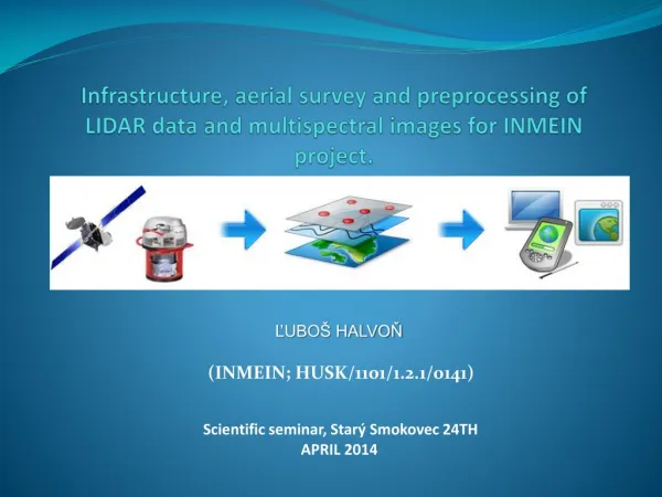
Infrastructure , aerial survey and preprocessing of LIDAR data and multispectral images for INMEIN project. (INMEIN; HUSK/1101/1.2.1/0141). ĽUBOŠ HALVOŇ. Scientific seminar, Starý Smokovec 24TH APRIL 2014. PRIMARY OUTPUTS FOR THE FOLLOWING PROJECT ACTIVITIES.

(INMEIN; HUSK/1101/1.2.1/0141)
E N D
Presentation Transcript
Infrastructure, aerialsurvey and preprocessing of LIDAR data and multispectralimagesfor INMEIN project. (INMEIN; HUSK/1101/1.2.1/0141) ĽUBOŠ HALVOŇ Scientific seminar, Starý Smokovec 24TH APRIL 2014
PRIMARY OUTPUTS FOR THE FOLLOWING PROJECT ACTIVITIES • 16 bit RGBN aerial images from vegetatation and leaves-off period with resolution less then 20 cm • Point cloud from aerial laser scanning • GNSS/IMU data • Digital terrain and relief model • RGB a CIR orthophotomaps or orthomosaics
DATA ACQUISITION - AIRBORNE • Leica ALS70-CM Airborne LIDAR Sensor • Leica RCD30 multispectral camera • PAV 80 + flight mission and execution SW
DATA ACQUISITION - TERRESTRIAL • Leica TS 15 Total station with calibrated camera • Leica GNSS System GS12 • Leica CS 12 Tablet Computer
DATA PROCESSING - PHOTOGRAMMETRY • ISAT • OrthoPro • ISAE • ISSD • ISDC • MATCH AT • OrthoMaster • OrthoVista LPS Core LPS Stereo ORIMA DP-TE/GPS Stereo AnalystforArcGIS FeatureAssistforArcGIS
DATA PROCESSING – REMOTE SENSING • ERDAS IMAGINE Professional • IMAGINE Objective • IMAGINE DeltaCue • IMAGINE AutoSync • IMAGINE Vector • ATCOR 2 a ATCOR 3 • IMAGINE MrSID
DATA PROCESSING – LASER SCANNING • TerraScan • TerraModeler • TerraPhoto • TerraSurvey • DTM Master • SCOOP++ • SCOOP++ Analyzer • SCOOP++ Visualizer
Data management: • Acuisition • Catalouguing • Searching • Discovering • Downloading • Products creation DATA PUBLISHING OGC Service SpatialAnalysis Features editing Tile Cache Service Internet or LAN ECWP Service Third part products LiDARdata ERDASAPOLLO Server Raster data (TIFF, NITF, TFRD atď…) Digitaldata(pdf, wmv, doc..) Vectordata (Arc, SDO, FME) File Service WFS-T • Spatial models: • WPS Vizualization and interaction
Data Data Field Mapping & Update Users & Consumers Airborne Sensors Photogrammetry Intranet/Internet GIS Satellite Sensor Data Information Products Web Services IT Data Data Terrestrial Sensors CAD Engineering Utilities Remote sensing Server Spatial Database Geo-Portals


