Download
1 / 11
110 likes | 133 Vues
Explore the world of satellite remote sensing, from Geostationary Satellites (GOES) tracking weather conditions to Polar Orbiting Satellites monitoring melting ice caps. Discover how these satellites maintain their positions above the Earth to provide essential data for scientific research and environmental monitoring.

E N D
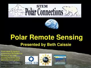
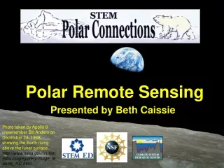
Polar Remote Sensing Presented by Beth Caissie Photo taken by Apollo 8 crewmember Bill Anders on December 24, 1968, showing the Earth rising above the lunar surface. http://www.nasa.gov/multimedia/imagegallery/image_feature_102.html
Geostationary Satellites (GOES) “…fix an unblinking eye from the sky on a certain part of our planet.” http://earthobservatory.nasa.gov/IOTD/view.php?id=39236 The Geostationary Operational Environment Satellites (GOES) operated by NASA, NOAA, and the U.S. Department of Commerce provide continuous monitoring of weather conditions.Orbiting the Earth’s equatorial plane at a speed exactly matching the planet’s rotation, satellites in the GOES network seem to hover over fixed spots. They monitor atmospheric conditions that lead to hurricanes, flash floods, tornadoes, and hail storms. GOES satellites also monitor volcanic plumes. At 6:51 p.m. Eastern Daylight Time on June 27, 2009, the GOES-O weather satellite launched aboard a Delta IV rocket from Launch Complex 37 at Florida’s Cape Canaveral Air Force Station. This photograph shows the GOES-O-bearing Delta IV rocket shooting above two lightning towers near the launch pad
Geostationary Satellite Maintains its position over a particular location as the Earth rotates beneath it
Full Disk Remote-sensing scientists call a satellite image that captures an entire hemisphere of the Earth in one view a “full-disk” image. On August 17, 2009, at 1:31 p.m. EST, the latestNASA/NOAA geostationary weather satellite, called GOES-14, returned its first full-disk thermal infrared (IR) image, showing radiation with a wavelength of 10.7 micrometers emanating from Earth. Infrared images are useful because they provide information about temperatures Red = visible channel, Green/blue = infrared channel http://goes.gsfc.nasa.gov/text/goes.fulldisk.html
Polar Orbiting Sun-synchronous http://earthobservatory.nasa.gov/IOTD/view.php?id=39863 NASA monitors the health of our planet with a constellation of satellites. The Aqua satellite, shown at top, uses the Latin name for water, and it carries a suite of sensors specially designed for observing all parts of Earth’s water cycle, including water on land, in the oceans, and in the atmosphere. Aqua follows a kind of polar orbit known as a Sun-synchronous orbit, which means it crosses the equator at the same local time during each pass. Aqua’s orbit ascends from south to north during the daylight hours, crosses near the North Pole, circles around Earth’s nighttime side, and crosses near the South Pole to return to the daytime side.
Example of a Polar Orbiting Satellite Daily Landsat tracks across Antarctica(compare to 1 pass every 16 days in lower latitudes)
Greenland Ice Sheet Temperature and Sea Ice NASA/Goddard Space Flight Center Scientific Visualization Studio. The Next Generation Blue Marble data is courtesy of Reto Stockli (NASA/GSFC). http://svs.gsfc.nasa.gov/vis/a000000/a003500/a003506/index.html
Arctic Summer Sea-Ice Extent • SSM/I Data: • Special Sensor Microwave/ Imager, operated by the Defense Meteorological Satellite Program • Not affected by clouds! • Near polar orbiting satellite • Continuous record since 1979 • Very coarse resolution: • 25 x 25 km grid From far… white > 15% ice coverage http://www.nsidc.org/arcticseaicenews/
…to near 1 km resolution: AVHRR(Advanced Very High Resolution Radiometer) 30 m resolution: Landsat Educational Materials and Activities! http://landsat.gsfc.nasa.gov/education/activity_matrix.html http://polynya.gsfc.nasa.gov/images/arctic2003/arctic2003_images/arctic2003_mar15_psr_landsat_avhrr_icesat.jpg
Sensing Biology http://alaska.usgs.gov/science/biology/wandering_wildlife/ww_polarbear.swf
Sensing Biology http://alaska.usgs.gov/science/biology/walrus/2008animation_Norseman.html