Cross County Erosion Control Project
Cross County Erosion Control Project. Project #06-1700 06/01/2009-09/30/2011. Project Location.

Cross County Erosion Control Project
E N D
Presentation Transcript
Cross County Erosion Control Project Project #06-1700 06/01/2009-09/30/2011
Project Location • The Cross County Erosion Control Project is located on the East side of Arkansas. Portions of the L’Anguille River Watershed, Lower St. Francis River Watershed and Cache River Watershed are located in Cross County.
Project Goals/Objectives: • Prevent soil Erosion • Improve water quality • Decrease damage to the land • Reduce water conveyance losses through proper management of irrigation water • Increase sustainability of soil & water resources
Project promotion • Phone survey to determine a need and participation (Contacted110 landowners, only 2 did not have a erosion problem and were not interested) • Published in District newsletter-with 475 recipients • Published in local newspaper • Broadcast on local radio • Posted 25 informational flyers around the county
DROP PIPE 50% COST SHARE
Getting Started • Utilized NRCS for technical assistance • Solicited location Maps from participants • Inventoried materials from producers • Accepted bids from venders • Developed contracts with participants • Invoiced and collected money from participants • Ordered materials
Water Control Structure Field view: Landowner can insert boards to control water level in the field. Splash Guard Ditch view: Splash guard controls the velocity of water coming from field minimizing erosion. . Flash Board Box
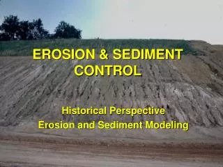
Before Water Control Structure • Top soil eroding • from the field • each year • making large • gullies • Landowners were • having to dig • the eroded top • soil from the • ditches and • return it to the • fields every two • years
After Water Control Structure • Landowners can control the water level in the field as well as control the flow of water coming from the field. Stopping erosion and keeping the top soil in the field
Before Water Transfer System • Poly Pipe • was used • to transfer • water from • the well. • Unexpected • breaks in • pipe would • cause loss • of water • and levees • washing out • and eroding • away.
After Water Transfer System • Water • transfer • systems were • installed with • risers placed • in the most • effective • locations • preventing • water loss • and erosion • while • improving • irrigation • efficiency.
ResultsImplemented approximately: • 422 water control structures • 119,200 feet of water transfer • 65% of project practices are complete • $880,000.00 obligated for erosion control in Cross County
Positive Outreach • Mended a broken relationship with producers • Increased awareness of soil erosion control measures • Positive promotions of water conservation • Voluntary Tax has increased by 22%.
Acknowledgment • Cross County Conservation District would like to acknowledge and commend the following: • ANRC-Tony Ramick, Kevin McGaughey • EPA • Pat Perry, 319 Area Coordinator All of their guidance and assistance has been greatly appreciated. Thank You