SlideServe
Menu
Préférences
© SlideServe · v2026

Map Scale & Distance

elias avatar
7 diapositives · 829 Views · Jul 19, 2014

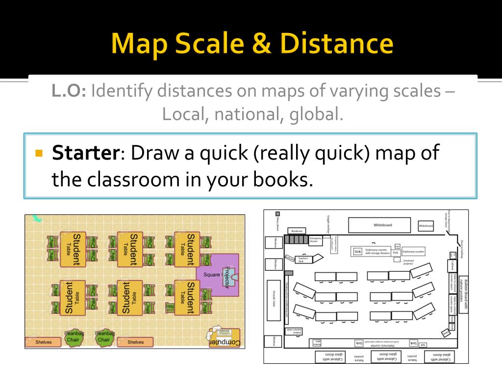
Map Scale & Distance. L.O: Identify distances on maps of varying scales – Local, national, global. Starter : Draw a quick (really quick) map of the classroom in your books. Distance – Large vs Small Scale. Maps are simply smaller drawings of any area.
Map Scale & Distance - slide 1
01 / 7Map Scale & Distance
1 / 17

Télécharger la présentation

Map Scale & Distance
Une image / un lien ci-dessous est fourni (tel quel) pour télécharger la présentation

Politique de téléchargement : le contenu du site vous est fourni TEL QUEL pour votre information et votre usage personnel ; il ne peut être vendu, concédé sous licence ni partagé sur d’autres sites sans l’accord de son auteur.Le contenu vous est fourni TEL QUEL, pour votre information et votre usage personnel uniquement. Téléchargez la présentation en cliquant sur ce lien. Lors du téléchargement, si vous ne parvenez pas à télécharger une présentation, l’éditeur a peut-être supprimé le fichier de son serveur.Pendant le téléchargement, si vous ne parvenez pas à obtenir une présentation, le fichier a peut-être été supprimé par l’éditeur.

F I N

Plus de contenu associé

Transcription de la présentation
  1. Map Scale & Distance L.O: Identify distances on maps of varying scales – Local, national, global. • Starter: Draw a quick (really quick) map of the classroom in your books.

  2. Distance – Large vs Small Scale • Maps are simply smaller drawings of any area. • They may be large or small scale maps • Large scale maps show things as being fairly large • Small scale maps are more zoomed out to show a large area. • For example…

  3. Distance - Scales • Maps are made as small representations of what we can see • Scale drawing allows us to draw large objects on a smaller scale while keeping them accurate. • All scale drawings musthave a scale written on them. Scales are usually expressed as ratios. • Example: 1cm : 1km • The ratio 1cm:1km means that for every 1cm on the scale drawing the length will be 1km in real life

  4. Distance - Scales • Maps will always have a scale as a ratio as explained, and usually also have a linear scale for use to measure from. • To use this linear scale, place a piece of paper on the map and mark point A and point B, then work out distance on the scale. • For curves you can use a piece of string. • Complete the Europe distance worksheet

  5. L/O: Identify distances on maps of varying scales – Local, national, global. • Where are we on our progress line? • How much progress have you made? I fully understand the LO I’m not really sure what the LO is about

  6. Homework • Using ‘Google Earth’ calculate the following: • Distance from your house to ACS Cobham in a straight line • The distance using roads (indirect). • You will need to do this on a PC as the iPad app doesn’t allow for route marking.