Download
1 / 34
340 likes | 487 Vues
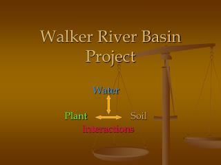
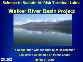
Science to Sustain At-Risk Terminal Lakes The Walker Project. Progress Report To Walker River Paiute Tribe. August 25, 2005 By Project Hydrologist: Kip K. Allander Project Chief: Thomas J. Lopes. Walker R. near Wabuska. Location of Walker River Basin.

E N D
Science to Sustain At-Risk Terminal Lakes The Walker Project
Progress Report To Walker River Paiute Tribe August 25, 2005 By Project Hydrologist: Kip K. Allander Project Chief: Thomas J. Lopes
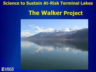
Walker R. near Wabuska Location of Walker River Basin Walker R. at Lateral 2-A near Schurz West Walker R. near Hudson East Walker R. above Strosnider Ditch near Mason
Overview • Problem • Purpose and objectives of project • Status of activities and accomplishments • Plans for upcoming year
Lake-level declines of 4.1 ft/yr occur during periods when no flow enters Walker Lake from Walker River. Walker Lake Salinity Thomas, J.M., 1995, Water budget and salinity of Walker Lake, western Nevada: USGS Fact Sheet FS-115-95, 4 p.
Objectives • Better quantify streamflow in the Walker Basin • Estimate evapotranspiration losses from the lake and natural and agricultural vegetation • Develop an improved water budget for Walker Lake • Develop a model to predict how changes in upstream irrigation practices would affect flows into Walker Lake
Accomplishments • Surface-Water (SW) network • Ground-Water (GW) network • Evapotranspiration (ET) network • Mapping • Web Site
SW Network • SW Sites
New Stream Gages Green Ck near Bridgeport Virginia Ck near Bridgeport
GW Network • GW sites
Ground-Water/Surface-Water Sites • Willows ET (above Weber) • Cow Camp Gage • Lateral 2-A Gage • Powerline Road • Walker River at Mouth
Willows Cow Camp Lateral 2A Powerline Road Walker River Mouth GW/SW Site Locations
Evapotranspiration (ET) Stations • Alfalfa (2) – Mason Valley WMA • Willow – Above Weber Reservoir • Greasewood – Southeast of Schurz • Rabbit Brush – Near Feedlot • Salt Grass – South of Feedlot • Tamarisk – South of Powerline Road • Open Water – Walker Lake
Mapping: • Satellite imagery • Lidar • Bathymetry • Side-scan sonar Bathymetry
Transmit Pulse Range Canopy Ground First Return Intermediate Return Last Return Lidar Principle Returned Backscatter
Walker Lake bathymetry Refined elevation/volume relations
Bathymetry Maximum depth in January 2005 was 81.4 ft Provisional Data, Subject to revision
Walker Lake Spring Deposits • Side-scan sonar
Shipwreck (located in Gulf of Mexico) is an example of resolution of detail of side-scan sonar technique. Side-Scan Sonar • High Resolution Sonar technique • Used for detailed mapping
Click on data link for interactive map page Web Site http://nevada.usgs.gov/walker/
Plans for Upcoming Year • Continue to collect data – Data network is essentially in full operation • Develop elevation/volume relations for Walker Lake • Classify and map vegetation • Geophysics near Double Springs and river mouth • Obtain water level at Double Springs Well • Install additional observation wells to refine hydrologic understanding of GW system