Download
1 / 19
230 likes | 1.11k Vues
Air Masses and Fronts. Warm Up: What type of rock is formed from cooling lava?. Air Mass VIDEO Clip . Air Masses. Air masses have the same properties as the surface over which it develops: M aritime = Wet C ontinental = Dry P olar = Cold T ropical = Warm .

E N D
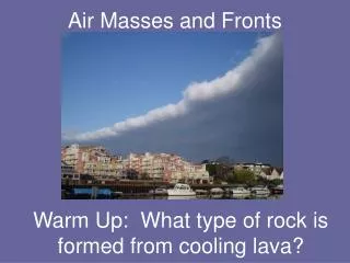
Air Masses and Fronts Warm Up: What type of rock is formed from cooling lava?
Air Masses • Air masses have the same properties as the surface over which it develops: Maritime = Wet Continental= Dry Polar = Cold Tropical = Warm mP = wet/cold cP = dry/cold mT = wet/warm cT = dry/warm
WARM AIR FRONT COLD AIR Fronts • A front is the boundary where two air masses meet. • Types of fronts: • Warm Front • Cold Front • Occluded Front • Stationary Front
Cold Front • Cold dense air pushes under a warm air mass. • The cold dense air moves faster and causes the warm air rises quickly. • Narrow bands of violent storms form.
Why do cold fronts bring heavy rain and storms? • Cold air interacting with warm air = a sudden drop in temperature = CONDENSATION occurs quickly and a fast difference in pressure • Creates cumulonimbus clouds • Cold dense fast moving air = high winds What you see in a weather map!
Warm Front • Warm air slides over departing cold air. • Large bands of precipitation form
Why do warm fronts bring mild weather? • It’s more difficult for the warm air to move against the cold dense air so there is a gradual difference in pressure and temperature What you see in a weather map!
Occluded Front • Two cold air masses merge and force warm air between them to rise quickly. • Strong winds and heavy precipitation will occur.
Why do occluded fronts bring heavy rain and storms? • Cold air that is more dense moves into an area of low pressure = CONDENSATION occurs quickly • Forms cumulonimbus and nimbostratus clouds What you see in a weather map!
Stationary Front • Warm and/or cold front stops moving. • Light wind and precipitation may occur across the front boundary.
Why do stationary fronts bring long light precipitation? • Neither front is strong enough to move the other • Can stay put for days • Differences in temperature = rain or snow Whatyouseein a weather map!
Cyclones and Anticyclones • Areas of HIGH and LOW pressure • Cyclone = LOW PRESSURE = spin counterclockwise = associated with storms and precipitation • Anticyclone = HIGH PRESSURE = spin clockwise = associated with fair weather.