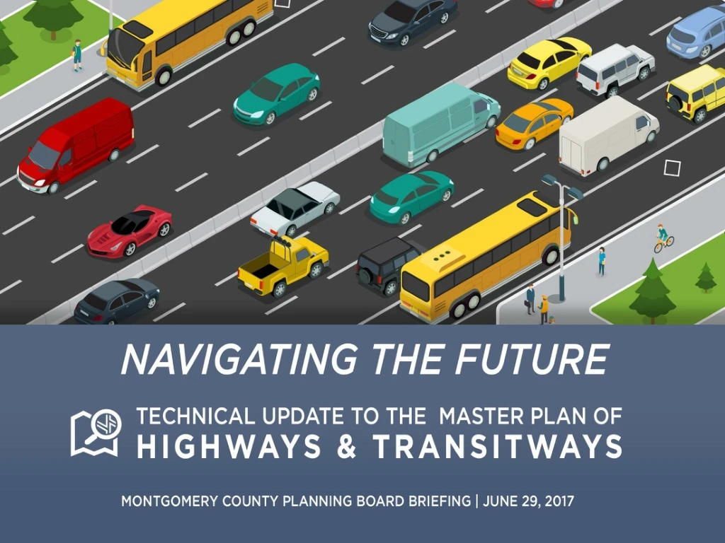
Montgomery County Master Plan of Highways & Transitways Update 2020
270 likes | 287 Vues
Explore the history, purpose, and technical elements of the MPOHT Update for Montgomery County. Learn about planned transportation investments, functional classification systems, and road code updates.

Montgomery County Master Plan of Highways & Transitways Update 2020
E N D
Presentation Transcript
Briefing Outline • History of Master Plan of Highways & Transitways • Purpose of MPOHT • Technical Elements of MPOHT Update • Project Schedule
1955 3rd MPOH Update (map only) History of the MPOHT 1 1974Draft Mont. Co. MPOH* Update 19532nd MPOH Update The Master Plan of Highways - a Map and Inventory showing all existing and proposed roadways – a “Highways” plan • 2013 • Renamed to Master Plan of Highways & Transitways* • 1932 • First MPOH • approved • 2000, • 2005 & • 2010 • Map Updates* 1927 M-NCPPC Founded • 1945 • 1st • MPOH • Update * “Within Montgomery County”
Last Comprehensive Study 1955 History of the MPOHT 1 1955: Bi-County Master Plan of Highways was last updated comprehensively. 1956: United States Interstate Highway System was authorized. 1956: M-NCPPC boundary extended to include all Montgomery County (addition of Upper Montgomery planning area). 1974: Montgomery County Only Plan initiated
Last update – 2010 MPOHT History of the MPOHT 1 • Static PDF map • Interactive tool in MCAtlas viewer webapp • No Master Plan Report • Living Functional Master Plan – amended frequently
MPOHT Purpose 2 • Guiding Montgomery County’s long-range transportation needs • Serving as a critical element in the master planning process • Preserving the right of way on county roads • Planning for all transportation modes • Organizing planned transportation investments • Providing functional classification of roads and their rights of way • Requiring consistency with county code and design standards – context-sensitive and complete streets approach
MPOHT Purpose 2 Planned Transportation Investments • Road widening • Planned roads • Interchanges • Transitways (BRT and LRT) and stations • HOV lanes • Right of way needs along road corridors
Functional Classification System MPOHT Purpose 2 • Mobility & access needs • Relationship to speeds • Vision Zero – speeds and conflicts contribute to poor road safety.
Consistency with Montgomery County Code MPOHT Purpose 2 • 2007 Modifications – Context-sensitive design standards • 2013 Modifications – Complete Streets • Older plans need an update to be consistent with current standards
MPOHT Purpose 2 MPOHT Development • Initial highway-based plan • Guided by the General Plan (1964) • Amended by active and pending area master plans • Amended by active and pending functional master plans • Multimodal (since 2013) – Highways and Transitways
MPOHT Purpose 2 General Plan – Established Overall Focus • Major transportation corridors • Urban Ring • Wedges and Corridors
Functional Master Plans - Countywide MPOHT Purpose 2 • Countywide Corridors Functional Master Plan • Purple Line Functional Plan (including the Capital Crescent Trail) • Rustic Roads Functional Master Plan • Bicycle Master Plan • Preservation of Agricultural & Rural Open Space
Area Master Plans MPOHT Purpose 2 • Initially organized by planning districts • Includes CBD sectors and corridors • 40+ active adopted master or sector plans currently in effect • 5 pending area master plans: Rock Spring, Veirs Mill Road Corridor, MARC Rail Communities, Grosvenor-Strathmore, White Flint • Additional plans kicking off this summer/fall
Multimodal Focus MPOHT Purpose 2 • 2013 Countywide Transit Corridors Functional Master Plan • Officially changed the name of the plan from MPOH to MPOHT
Technical Elements 3 • Update road classifications based on Road Code adoption of new categories • Address inconsistencies with older plans • Update target speeds in urban road code areas • Remove M-NCPPC Park Roads from MPOHT
Road Classifications added in 2007 Road Code Technical Elements 3 • Road Classification Types • Controlled Major Highways • Minor Arterial • Parkway • Design Characteristics for all Classifications • Target Speed • Access Control • Lane Widths
Inconsistencies from Older Master Plans Technical Elements 3 • Road classification changes at master plan boundaries • Missing/updated information in previous Master Plans • Silver Spring CBD Business District Streets • Primary residential street numbering • New street names • Recognition of existing transportation investments including the I-270 HOV Lanes
2013 Road Code – Complete Streets Technical Elements 3 • Urban Road Code – all county roads restricted to 25 mph target speed within the Road Code boundary • Many locations may not be in compliance • Proactive Urban Street Design according to NACTO (National Association of City Transportation Officials): Target Speed = Design Speed = Posted Speed
Removal of all M-NCPPC (Parks) Roads from MPOHT Technical Elements 3 • Primary function of park roads – serve park users • ROW fully contained within Park property. ROW preservation in M–NCPPC control • Park roads may be used for commuting purposes as a secondary function
Work Products Technical Elements 3 • Countywide Master Plan of Highways and Transitways map • Master Plan document – companion document providing guidance on the Master Plan Map • Online and hard-copy Mapbook providing zoomed-in details on every update in the plan. • Improved web application using GIS technology with an outreach component and searchable functionality • Working with the Communications Team on a strategic communications plan for messaging and deliverables
MapBook Technical Elements 3
MPOHT Feedback Map Technical Elements 3 • Showing approximately 100 changes being proposed with this comprehensive update • Opportunity to comment online from August until November 2017 (during the countywide outreach effort) • Ability to provide comments using feedback map will continue be a part of the plan • Map will stay active for future comments
Schedule – Important Dates Project Schedule 4 • Website Updates with GIS Tools – August 2017 • Countywide Public Outreach Meetings – September-October 2017 • Working Draft MPOHT to Planning Board – November 2017 • Submittal to County Executive & County Council – March 2018 • Adoption by County Council – August 2018
Community Meetings Project Schedule 4 • September-October 2017 • Five locations across the County 7 to 9 p.m. • Silver Spring • Bethesda/Chevy Chase • Rockville • Burtonsville • Germantown
Contact Stephen Aldrich, Project Manager, (301) 495-4528, Stephen.Aldrich@MontgomeryPlanning.org Learn More: http://montgomeryplanning.org/planning/transportation/highway-planning/2018-master-plan-of-highways-and-transitways/
Thank You • Questions • Discussion