Download
1 / 61
610 likes | 857 Vues
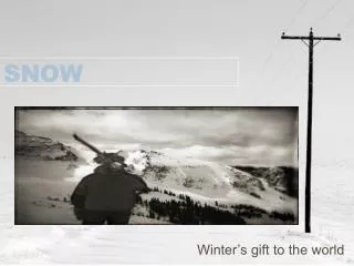
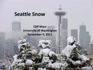
Seattle Snow. Cliff Mass University of Washington November 9, 2011. Reminder: Seattle Can Get Big Snow Events. Seattle Feb 1-2, 1916. The greatest 24 hr snowfall (21.5 inches) since official record keeping in Seattle (1890). 29 inches on the ground. 4-5 ft drifts.

E N D
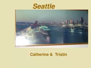
Seattle Snow Cliff Mass University of Washington November 9, 2011
Seattle Feb 1-2, 1916 The greatest 24 hr snowfall (21.5 inches) since official record keeping in Seattle (1890). 29 inches on the ground. 4-5 ft drifts.
December 2008: Two Weeks of Cold and Snow--But No Big One-Day Snowstorms
Seattle December 2008 12-24 inches of total snowfall (18 inches SeaTac)
Typically, once a decade we get a big event, with a foot of snow or more…like the last week of December 1996
Climatology Seattle and vicinity generally gets 6-9 inches of snow a year in 2-3 events. Not unusual to have year with nearly no snow.
Lowland snowfall was greater in the 50s, late sixties and early 70s Lots of year to year variations.
Important terminology: snow level and freezing level 32F Freezing Level 1000 ft Snow Level
Seattle Snow • In the frequent marginal cases there can be several inches on top of Queen Anne Hill, Capitol Hill, Lake City, West Seattle, and on the top of View Ridge (and other high areas), with nearly nothing near sea level. • Less snow near water due to warmer temperatures.
Why are snowstorms rare over Seattle and the western Washington lowlands? • To get snow you need cold and wet. • It is easy to be mild and wet here • Sometimes we are cold and dry • To get cold and wet is very hard…but why? Seattle 2007
During the winter the mountains block the cold air from the interior. Cold Air
Our air and weather systems generally move west to east: Thus, our weather comes from off the mild Pacific.
The secret of Northwest snow is usually to bring in cold air from the north and interior while moist, cool Pacific air moves in aloft.
Cold Air Moisture
The Fraser River Valley is an important conduit of cold air into western Washington.
The Pressure Pattern That Does It
A snowstorm associated with the Puget Sound Convergence Zone December 18, 1990 The surprise snowstorm
Classic problems with buses The city was crippled Trees fell Power failures were widespread
Why do we often get sheets of ice with Seattle snow? November 27, 2006 Ice during Seahawk Game
Why so icy? • Since it is usually mild here, the surface ground temperatures are generally above freezing. • Snow falls on the roads and is not removed. • The snow starts to melt, but then cooler temperatures behind the weather disturbance freezes the air slush into ice. • Now it is impossible to remove without salt or a warm up.
Snowstorms are the most difficult forecast problem for meteorologists • Why? Have to accurately predict temperature and precipitation amounts to get the forecast right. • Not much practice! • Often right on the edge of rain or snow
We are getting many of the snowstorms generally right now, but not all. • Better computer models • Better understanding • More observations
Forecasting Snow • Although we may not get the details right, meteorologists can usually tell you when you need to worry. • In other words, we can tell whether the basic ingredients are available—temperature, precipitation, etc. The question is whether they will in the necessary way.
The Only Useful Tool for Seasonal Prediction of Snow:El Nino/La Nina
Niño Region SST Departures (oC) Recent Evolution The latest weekly SST departures are: Niño 4 -0.5ºC Niño 3.4 -0.9ºC Niño 3 -1.0ºC Niño 1+2 -0.9ºC
Pacific Niño 3.4 SST Outlook • The majority of ENSO models predict the continuation of La Niña through the Northern Hemisphere winter (Niño-3.4 SST anomalies less than -0.5°C). Figure provided by the International Research Institute (IRI) for Climate and Society (updated 19 October 2011).
Typical US Temperature, Precipitation and Jet Stream Patterns during La Niña Winters
Snow and La Nina • Typically more snow in La Nina years--but no guarantees. This is a statistical relationship. • Major impact after January 1
Implication for this year: higher than normal probability for lowland snow in Seattle
Better Information Can Help SDOT and the Region to Cope with Snow. One tool: SnowWatchDeveloped with Support from the City of Seattle