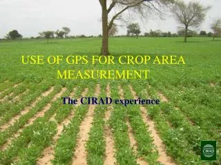
GPS Measurement Protocol
GPS Measurement Protocol. Goals for the Training Session. Provide an inquiry context for the data collection and science content Provide accurate science content Review procedures for data collection Review data entry and analysis Discuss classroom implementation ideas

GPS Measurement Protocol
E N D
Presentation Transcript
GPS Measurement Protocol Draft 2005
Goals for the Training Session • Provide an inquiry context for the data collection and science content • Provide accurate science content • Review procedures for data collection • Review data entry and analysis • Discuss classroom implementation ideas • Collect feedback from participants Draft 2005
Inquiry Context • Are there patterns visible in the mapped data? • What Earth system factors may explain differences in data from the same latitude around the globe? Draft 2005
Local Inquiry Example Draft 2005
Why do GLOBE scientists use GPS? • Locates your school & GLOBE study sites • Provides accurate geographic coordinates for GLOBE data allowing others to analyze the data from a spatial perspective • The locations are in a form that is easily used by anyone around the world Draft 2005
Science Content: Latitude & Longitude 1 degree of longitude = 0 km 1 degree of latitude = ~111 km Magnetic Declination 1 degree of longitude = ~111 km Draft 2005
Science Content: Elevation GPS elevation measures in reference to the Ellipsoid. Topographic elevation is measured in reference to the Geoid. Draft 2005
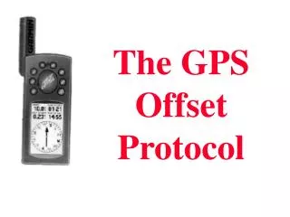
Instruments: GPS Receiver & Magnetic Compass Draft 2005
The Measurements • GPS Measurement • Latitude • Longitude • Elevation • Offset GPS (only as needed) • True North • Corrected Latitude • Longitude • Elevation Draft 2005
Collecting Data: Field/Lab Guides & Data Sheets Field/Lab Guides: • GPS Protocol Field Guide • Offset GPS Protocol Field Guide Data Sheets: • GPS Investigation Site Location Data Sheet • GPS Investigation Data Sheet • Offset GPS Measurements Data Work Sheet Draft 2005
Collecting Data: ProtocolGPS Measurement • Hold vertically away from body • Wait until you acquire at least four satellites • At one minute intervals record 5 measurements: • Latitude • Longitude • Elevation • Time • Number of satellites • 2D or 3D • Average measurements Draft 2005
Collecting Data: ProtocolOffset GPS • Determine True North • Move either north of south from Study Site until GPS reception is good • Measure distance from Study Site • Divide by (11 meters/.0001 degrees) to get latitude correction • In the northern hemisphere, add (if you took reading south of study site) or subtract (if you took reading to the north of study site) latitude correction • Record corrected GPS measurement Draft 2005
Enter Data on the GLOBE Web Site Step 1: Select “Define, Edit, or Update a Site” from the site definition data entry menu Step 2: Select the site you wish to enter GPS data for Step 3: Enter GPS data for the observation or measurement sites needed Step 4: Confirm data entries on verification page Draft 2005
Looking at the Data Draft 2005
Classroom Implementation • Inquiry • Curriculum/Standards Alignment • Assessment • Classroom Management Draft 2005
Getting Started • The GLOBE Web site has information http://www.globe.gov • GLOBE Help Desk or your Country Coordinator can support you as you get started. • Get your students involved doing real science! Draft 2005