Topography and Landforms
Topography and Landforms. In 1804 Meriwether Lewis and William Clark set out on an expedition to explore the land between the Mississippi River and the Pacific Ocean just purchased from France. This purchase was called the Louisiana Purchase. Section 1.

Topography and Landforms
E N D
Presentation Transcript
In 1804 Meriwether Lewis and William Clark set out on an expedition to explore the land between the Mississippi River and the Pacific Ocean just purchased from France. • This purchase was called the Louisiana Purchase.
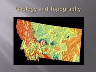
Section 1 Topography - the shape of the land, including elevation, relief, and landforms. Elevation – height above sea level Relief – difference in elevation between highest and lowest point Landforms – feature of topography formed by the processes that shape Earth’s surface
The highest elevation that Lewis and Clark’s expedition took them on was 2,200 meters. • This location was the Lemhi Pass in the Rocky Mountains.
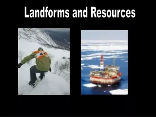
Landforms- a feature of topography such as a hill or valley formed by the processes that shape the earth’s surface. There are three main types of landforms. 1. Plains- a landform made up of nearly flat or gently rolling land with low relief. A plain that lies along a seacoast is called a coastal plain. 2. Mountains- A landform with high elevation and high relief. 3. Plateaus- a landform that has high elevation and a more or less level surface
The two plateau regions Lewis and Clark traveled through Was the Columbia Plateau and Ozark Plateau A landform region is a large area where the topography is made up of one type of landform. Two landform regions in the book are the Great Plains and the Rocky Mountains.
Mountain range- a group of mountains that are closely related in shape, structure, and age. Mountain system- the different mountain ranges in a region Mountain belt- the largest unit of ranges and systems.
Plain http://www.great-adventures.com/images/tanzania/Unending%20Plain.jpg
Mountain www.cix.co.uk/~gidds/Snaps/America/index.html
Plateau http://images.google.com/imgres?imgurl=http://www.hickerphoto.com/data/media/175/colorado_plateau_t3105.jpg&imgrefurl=http://www.hickerphoto.com/colorado-plateau-8874-pictures.htm&h=311&w=468&sz=54&hl=en&start=1&um=1&usg=__cjuZH4U6bOCA6wQLP6AoBXREWV0=&tbnid=eP-vwVgiXW_TcM:&tbnh=85&tbnw=128&prev=/images%3Fq%3Dplateau%26gbv%3D2%26um%3D1%26hl%3Den%26sa%3DG