Download
1 / 13
130 likes | 389 Vues
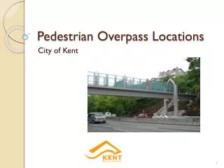
Pedestrian Overpass Locations. City of Kent. Objectives. Find a location in Kent for a pedestrian overpass Allow better traffic movement by removing pedestrian crossings Locate next to transit stops, bike trails and commercial areas Avoid costly construction areas and sewer lines.

E N D
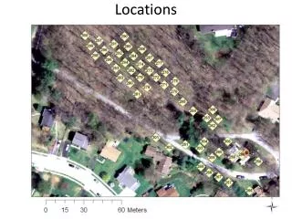
Pedestrian Overpass Locations City of Kent
Objectives • Find a location in Kent for a pedestrian overpass • Allow better traffic movement by removing pedestrian crossings • Locate next to transit stops, bike trails and commercial areas • Avoid costly construction areas and sewer lines
Costly Construction Areas • Erosion Hazard Areas • Seismic Hazard Areas • Landslide Hazard Areas
Analysis • Buffer • .5 miles for Trails • .25 miles for commercial areas • Union • Intersections • Clip • Erase
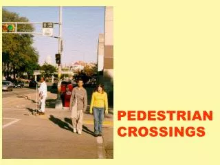
Possible Locations • Along principal arterials • Within .5 mi of trials and .25 of commercial areas and transit stops • Avoid hazard areas and sewer lines
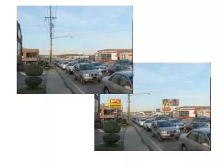
Chosen Location • Just before intersection of Washington and Meeker • 8 transit stops within close proximity • Commercial and shopping areas on both sides of Meeker
Data Used • Cities / Incorporated Areas • Hazard Areas • Seismic, Erosion and Landslide • Water Bodies • Washington Counties • Public Lands • Trails • King County Transportation Network • Sewer Lines • Metro Bus Stops