Download
1 / 11
110 likes | 231 Vues
Join us for an extensive overview of Geographic Information Systems (GIS) applied to redistricting, as presented by Wayne Chizek during the education session on June 10, 2011. Learn about essential map features including point, line, and area, as well as practical software setups such as ESRI’s Districting for ArcGIS. This session covers crucial data sources such as US Census 2011 Boundary and Annexation Survey and the Iowa Data Center for obtaining geography data. Enhance your understanding of GIS applications in the redistricting process.

E N D
GISRedistricting Technology SEAT Redistricting Education Session June 10, 2011 Wayne Chizek
Geographic Information Systems (GIS) are built upon knowledge from geography, cartography, computer science and mathematics.
Map Features • Point - Features that either represent the location of a feature that has no dimensions or a feature that has width and length but whose perimeter cannot be mapped at the defined map scale. • Line - Sets of connected points that represent a feature that either has no width or that has width but is shown by a single line at the scale of the map being used. • Area - Features delineated by closed boundaries.
Setting up the Software Real Estate property Maintenance Download ESRI’s Districting for ArcGIS
Setting up the Software Real Estate property Maintenance Download ESRI’s Districting for ArcGIS
Setting up the Software Download ESRI’s Districting for ArcGIS
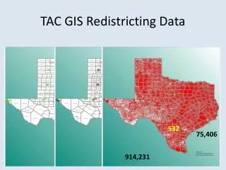
Getting the Data:Source Attribute Data Iowa Data Center
Getting the Data:Source Geography Data US Census 2011 Boundary and Annexation Survey (BAS)
Getting the Data:Source Geography Data Iowa Redistricting – New Iowa House and Senate districts
Questions ? ? ?
Wayne Chizek GIS Director Marshall County wchizek@co.marshall.ia.us (641) 844-2811 Thanks!!!