Download

1 / 10
Analysis of Satellite Imagery: Insights by Valeria Peyrou and Agostina Iglesias
100 likes | 228 Vues
This study presents a comprehensive analysis of satellite imagery, focusing on advancements in remote sensing technology as discussed by Valeria Peyrou and Agostina Iglesias. The research highlights the applications of satellite images in environmental monitoring, urban planning, and disaster management. By leveraging large datasets, the authors demonstrate how satellite imagery can provide valuable insights for sustainable development and ecological preservation. This work aims to engage researchers and practitioners in the significance of satellite-derived data in various fields.
Télécharger la présentation 
Analysis of Satellite Imagery: Insights by Valeria Peyrou and Agostina Iglesias
An Image/Link below is provided (as is) to download presentation
Download Policy: Content on the Website is provided to you AS IS for your information and personal use and may not be sold / licensed / shared on other websites without getting consent from its author.
Content is provided to you AS IS for your information and personal use only.
Download presentation by click this link.
While downloading, if for some reason you are not able to download a presentation, the publisher may have deleted the file from their server.
During download, if you can't get a presentation, the file might be deleted by the publisher.
E N D
Presentation Transcript
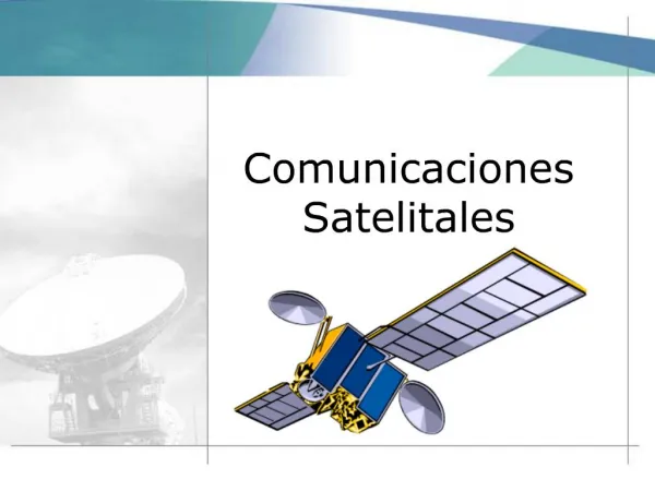
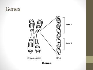
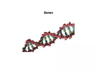
1. Im�genes satelitales Valeria Peyrou
Agostina Iglesias


More Related