Download
1 / 5
60 likes | 242 Vues
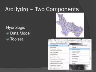
NDVI and ArcHydro. ArcHydro Terrain Pre-Processing tools DEM fill Flow Direction Flow Length Stream Segmentation Conversion from raster to vector. NDVI Use NDVI to examine vegetation in OFNW Isolate north facing slopes using the Model Maker

E N D
ArcHydro Terrain Pre-Processing tools DEM fill Flow Direction Flow Length Stream Segmentation Conversion from raster to vector NDVI Use NDVI to examine vegetation in OFNW Isolate north facing slopes using the Model Maker Use Knowledge Engineer to mask out north facing slopes and NDVI vegetation value Model Maker to perform clump-sieve to get rid of unwanted pixels Methods
ArcHydro Effective for calculating stream and river networks Fast 5.9 hectares of streams in the OFNWR Extension is designed for major hydrologic resources (e.g. Nooksack River) DEM accuracy extends only as far as its resolution 10 m DEM Small streams NDVI Final image contained too many misclassified areas Streams not properly delineated Major vegetation coverage made stream identification difficult, even from 1 mtr image Leaf area Small streams Useful for larger hydrologic applications Tested in Bellingham Results & Conclusions
Acknowledgements • Mike Leech • Dr. David Wallin • WWU SAL tech