Clouds & Fronts
Clouds & Fronts. WARM AIR MASSES: Move into colder air masses Move slowly AHEAD OF WARM FRONTS: High Clouds cirrus cirrostratus Middle Clouds altostratus AFTER A WARM FRONT: rain & possibly thunderstorms.

Clouds & Fronts
E N D
Presentation Transcript
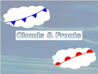
WARM AIR MASSES: • Move into colder air masses • Move slowly • AHEAD OF WARM FRONTS: • High Clouds • cirrus cirrostratus • Middle Clouds altostratus • AFTER A WARM FRONT: • rain & possibly thunderstorms Warm Front Cooler prior to front Red half-circles show direction front is moving. (rising suns=warm front http://www.windows2universe.org/earth/Atmosphere/tstorm/warm_front.html
Clouds Formed by Warm Fronts http://ww2010.atmos.uiuc.edu/(Gh)/guides/mtr/cld/cldtyp/hgh/crs.rxml
Cold Fronts Cold Air Masses: Move into warmer air masses Move very fast Cause a sudden drop in temperature High winds Push warm air up causing: Cumulus or Cumulonimbus clouds & thunderstorms After a cold front passes: cool, dry stratus and stratocumulus clouds or clear skies Blue arrows show direction of cold front. Blue “icicles” http://www.windows2universe.org/earth/Atmosphere/tstorm/cold_front.html
Clouds Formed by Cold Fronts Nimbostratus Cumulus Stratus Stratocumulus http://ww2010.atmos.uiuc.edu/(Gh)/guides/mtr/cld/cldtyp/hgh/crs.rxml
Adapted from Information/Images by: http://www.windows2universe.org/earth/Atmosphere/clouds/formation_fronts.html

