Download
1 / 14
140 likes | 263 Vues
This presentation by Jill Urban-Karr focuses on the importance of spatial data in land administration, discussing its definitions, tools, and best practices. Spatial data encompasses various technologies such as GIS, GPS, and remote sensing that help identify geographic locations and boundaries. Key points highlight the significance of spatial reference systems, the advantages of different data collection methods, and the roles of partnerships in developing and maintaining spatial data infrastructure for sustainable governance and resource management.

E N D
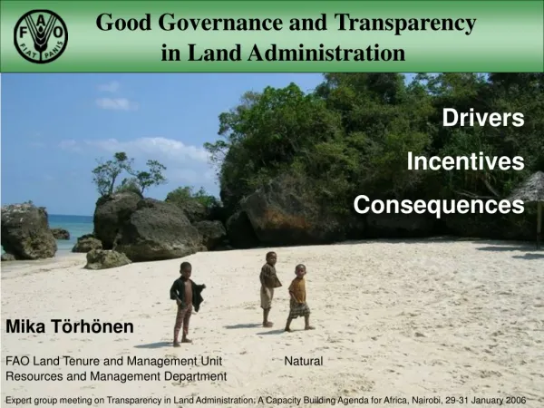
Spatial Data and Technology in Land Administration Presenter: Jill Urban-Karr Property Rights and Resource Governance Issues and Best Practices Washington, DC October 2012
Contents • What is spatial data? • GIS/LIS/GPS/Remote Sensing • Approaches • Points to Take Away
What is Spatial Data? • “the data or information that identifies the geographic location of features and boundaries on Earth” • Spatial Reference System • Maps • Imagery • Geography • Scale • Time • Twitter
GIS/LIS – Geographic/Land Information Systems “is a facility for preparing, presenting, and interpreting facts that pertain to the surface of the earth” • Web Mapping • Google Earth/Open Street Maps • INSPIRE/SDI • Crowd Sourcing
GPS-Global Positioning Systems • Geodesy “science of measuring and monitoring the size and shape of the Earth” • Developed by USDOD in 1978 • Constellation of 32 satellites • GLONASS, Beidou, Galileo • Time measurement • Distances i.e. Meter
Remote Sensing • Satellites • Aerial Photography • Nadir • Oblique • Video • LIDAR
Remote Sensing-Aerial Photography • High Resolution
Remote Sensing-Aerial Photography • Medium Resolution
Remote Sensing-Aerial Photography • Low Resolution
Remote Sensing • Analysis
Approaches: Flexible Systems • Index maps • Properties by Points • Identify Features • Local knowledge • Evidence
Approaches: Appropriate Technology • Cell Phones • Solar Power • Wifi/Cell networks • GPS • High Resolution Satellite Imagery • Digital Still/Video Cameras • Commercial off the Shelf Software/Open Source • Web systems and data
Points to Take Away • Spatial data is key to property rights but also to many other development needs • Collect once – use many times • Use various modes of spatial data tools and gathering approaches • Blending scales and accuracies is acceptable in data poor environments • Spatial data has considerable value but must be maintained • Maintenance requires good governance • Emerging economies must look to partnerships with private sector to develop and sustain spatial data