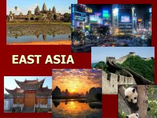
EAST ASIA
440 likes | 732 Vues
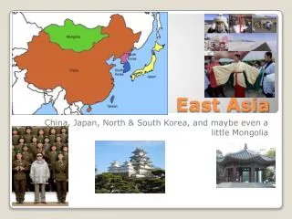
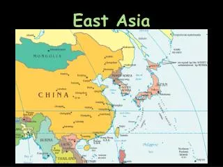
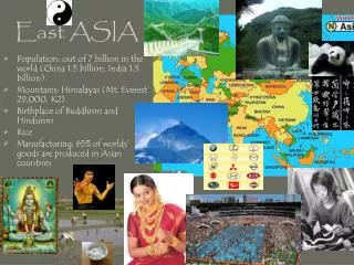
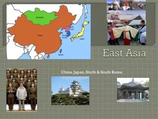
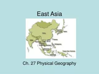
EAST ASIA. China, Mongolia, Taiwan. POPULATION DENSITY MAP. CHINA. Third largest country in area Largest in population 1.5 Billion (Less than 7 billion on the planet) All population is in China’s eastern 1/3 Mostly in the NORTH CHINA PLAIN Western 2/3 is mountainous and desert

EAST ASIA
E N D
Presentation Transcript
CHINA • Third largest country in area • Largest in population 1.5 Billion (Less than 7 billion on the planet) • All population is in China’s eastern 1/3 • Mostly in the NORTH CHINA PLAIN • Western 2/3 is mountainous and desert • Only 10% of land is arable
Unique animals • Panda Bear • Two Humped Camels • Tigers long-eared jerboa
CHINA • Innovations • Silk • Fireworks • Gun powder • Farms • Silk – mulberry leaves • Fishing – aquaculture • Mid-west nomadic herding • Rice & large variety of crops • Rice is an example of intensive agriculture – requires large amounts of human labor
Interesting Fact of the Great Wall • Prior to its unification 221 BC the wall was a network of seven separate walls • Often called “the longest cemetery on earth” • Over the last 2,000 years approximately 31,070 miles of wall was built. Earth's circumference is only 24,854 miles • 12 century the wall was neglected. In A.D. 1211 and 1223 Mongolia, led by Genghis Khan ruled until the Ming dynasty defeated them. His army was able to step over the wall in some locations
5. The wall can not be view from space • 6. The mortar was made of rice flour not bone as some myths say • 7. Most of the wall we see today was made by the Ming Dynasty (17th century) • 8. It is 25 feet high in some places and ranges from 15-30 feet wide • 9. Numerous temples were built along the Wall for the worship of the war god, Guandi
CHINA • Landforms • Major Rivers • Yellow (Huang) – northern most • Empties into the Yellow Sea • Called “China’s Sorrow” due to flooding • Yangtze (Chang) – central China • Most fertile • Site of Three Gorges Dam • Desert • Gobi – natural border of Mongolia and north China • “waterless place” • Caused by rain shadow of the Himalayas • Mountain • 40 % of China is mountain • Himalaya form a natural southern boundary • Plateau of Tibet is the highest plateau • Plain • North China Plain – Majority of China’s population • Manchurian Plain – Japan set up a Puppet Government
Current Chinese Issues • 1. “Three Gorges Dam” • Located along the Yangtze • Good • Help control flooding • World’s largest dam • World’s largest source of Hydroelectricity • Bad • Loss of artifacts • Destroy rare plant and animal life • Displace millions of families • 2. Government • Communist (controls everything) • 3. Overpopulation
MONGOLIA • 1. Capital - Ulan Bator, Ulaanbaatar or U.B. • 2. Population – 3 million • 3. Gobi desert separates it from China • 4. History • Once feared Nomadic warriors. Genghis Khan created the largest empire the world has known. Because of this China built the Great Wall. • Joined U.S.S.R.’s “Communist Block” during the Cold War • Nomadic Herding is the primary economy for most Mongolian
TAIWAN • Population – 23 mill. • Controversy over who controls it • Capital Taipei • Has been under the control of Japan and China. Today they are independent and primarily an exporting and manufacturing country.
KOREA CONTINUE • Peninsula separating the Yellow Sea and the Sea of Japan (or East Sea as it is known in Korea) • Separated into North Korea (communist) and South Korea at the end of WWII. The US joined the Korean War in 1950 as the first phase of the “Containment” of communism. • War ended in 1953 and a demilitarized zone (DMZ) was created at the 38th parallel (38 degrees latitude) • Wildlife has thrived in this area. WHY?
KOREA NORTH KOREA SOUTH KOREA Democracy/Free Market Called the ASAIN TIGER due to large economic growth Highly industrialized Densely populated • Strictly Communist • Struggling economy • Low industrialization
EASTERN ASIAN GEOGRAPHY • JAPAN Physical Geography • Island country made up of four large islands • Honshu is the largest of the four islands • Very mountainous – known for skiing • Climate • Chishima (Oyashio) Current – cold ocean current along the north. Makes summers mild and winters harsh • Japan (Kuroshio) Current – warm ocean current along the south that makes winters mild and summers hot and humid
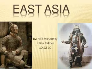
Japanese History • Japan was isolated from the world until 1853 when Commodore Matthew Perry sailed into Tokyo Bay • Political system similar to medieval feudal Europe • Emperor – like a king but viewed as a god • Shogun – powerful warlords • Daimyo – wealthy landlords • Samurai – professional warriors
Japan Modern History continue • On three occasion Japan was saved from Mongol attack (probably cyclones and tsunamis) • Kamikaze – Divine Wind – • Members of the Axis Powers of WWII • Suicide dive bombers • honorable to die - Samurai • U.S. dropped atomic bombs on the cities Hiroshima and Nagasaki