Download
1 / 35
350 likes | 537 Vues
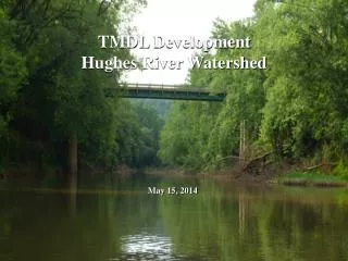
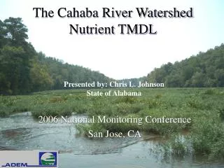
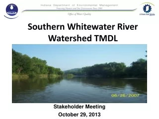
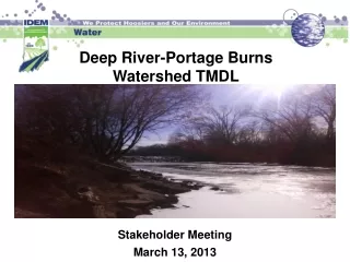
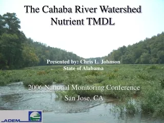
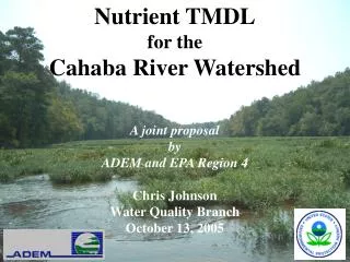
Nutrient TMDL for the Cahaba River Watershed A joint proposal by ADEM and EPA Region 4 Chris Johnson Water Quality Branch October 13, 2005. Outline. Overview of Nutrient Impacts to the Cahaba River Summary of the Cahaba River Nutrient TMDL Nutrient Target Development

E N D
Nutrient TMDL for the Cahaba River Watershed A joint proposal by ADEM and EPA Region 4 Chris Johnson Water Quality Branch October 13, 2005
Outline • Overview of Nutrient Impacts to the Cahaba River • Summary of the Cahaba River Nutrient TMDL • Nutrient Target Development • Application of Target to Cahaba River • TMDL Results and NPDES Permit Requirements • TMDL Implementation Strategy • Public Participation Process • Future Activities
§303(d) Listed Segments * Segment 02 is not currently listed as being impaired for nutrients on Alabama’s §303(d) List, however due to observed impacts in recent studies it is considered part of the TMDL.
Nutrient Impacts – What Are They? • Aquatic life use is impaired by excessive nutrients: • Confirmed by ADEM, EPA, & Jefferson County data • Impairment to overall community, not just T&E species • US I-59 downstream to AL Hwy 82 • Nuisance algal blooms (excess periphyton growth) • Dissolved oxygen violations • Large daily swings in dissolved oxygen • Undesirable shifts in the native species of plants and animals
Continuous Dissolved Oxygen Data • Collected during 1999 - 2000 • 2 stations in Cahaba (downstream of urban areas and municipal facilities): • S1 = Bibb County Hwy 24 • S2 = Shelby County Hwy 52 • Rainfall and Solar Radiation from Birmingham Airport • Flows from USGS gage 02423555 at Helena (same location as S2)
Bibb County Highway 24 (S1) • Station also known as Piper Bridge • Downstream of Shades Creek • Wide and flat • No canopy S1
Shelby County Highway 52 (S2) • Downstream of Buck Creek • Highly entrenched • Canopy present S2 S1
Nutrient Impacts – When and Where Do These Impacts Occur? • Downstream of urban point and nonpoint sources • During periods of low flow, low velocity, and high temperature • Areas where the river is wide, water is shallow, tree canopy is open and light is readily available
Why Do We Need Nutrient Targets? • Numeric Nutrient Criteria for Rivers and Streams Not Currently Established • Need Quantifiable Endpoints to Evaluate Condition of Waterbody in Regards to Meeting its Designated Use(s) • Necessary for TMDL Development
Key Aspects of Nutrient Target Development • Consistent with EPA Guidance and Recommendations • Uses a Reference Condition Approach • Scientifically Defensible • Uses Total Phosphorus (TP) as the Controlling Nutrient • Fully Supports Designated Uses • Long-Term Monitoring Plan is Essential
Key Aspects of Nutrient Target Development (cont’d) • ADEM and EPA Region 4 have compiled extensive resources to determine the nutrient target • Conducted field studies by EPA Region 4 and contract scientists • Reviewed and synthesized all information in consultation with national expert in stream nutrient-algae relationships (Jan Stevenson, PhD) • EPA Region 4 Conclusion • Recommended range of 20 to 40 µg/L total phosphorus should prevent filamentous algae growth and be protective of designated uses.
ADEM’s Nutrient Target Approach for the Cahaba River • Select Set of Least-Impacted Reference Streams based on the following: • ADEM Reference Station with Sufficient Data • Same Level III Ecoregion (Ridge & Valley) • Mixed Land Use • Low Levels of Measured Periphyton • Healthy Habitat, Macroinvertebrates, and Fish Communities • Calculate the 75th percentile of growing season data • For Ecoregion 67, Target = 35µg/L of TP
Level III Ecoregions *Upper Cahaba River is located in Ecoregion 67
Ecoregion Reference Site Data - - - - 35 µg/L Target
Application of Nutrient Target • Spatial – 3 locations chosen to monitor instream conditions • Roper Road (St. Clair County Road 10) • Bain’s Bridge (Old Montgomery Highway) • Shelby County Highway 52 • Temporal – growing season median (multiple years) should not exceed TP target at these predetermined evaluation points • Growing season defined as April – October • Study Period Evaluated 1999-2001 growing seasons
Application of Target to Cahaba River: 1999-2000 TP Concentrations
Instream Evaluation Points Evaluation Points
Cahaba River Analysis • Physical characteristics • Geometry • Tributary inflow locations • Instream longitudinal data trends • Point source assessment • DMR records, WWTP Nutrient Database • Nonpoint source assessment • Correlation of GIS landuse to instream data
Modeling System • LSPC watershed model • Utilizes precipitation to make hydrologic predictions • EPD-RIV1 hydrodynamic and WQ model • Kinematic wave transport • Eutrophication kinetics but not periphyton • Cahaba Spreadsheet Model • Custom mass balance framework • Predict instream TP • Evaluate point and nonpoint sources • Evaluate permit limits
TMDL Implementation Strategy • Phase I: NPDES permit revisions required by 2010* • Majors (≥1.0 MGD) – monthly avg. limit not to exceed TP = 0.40 mg/L • Minors (<1.0 MGD) – monthly avg. limit not to exceed TP = 2.0 mg/L • Phase II: NPDES permit revisions required by 2015* • Majors (≥1.0 MGD) – monthly avg. limit not to exceed TP = 0.20 mg/L • Minors (<1.0 MGD) – monthly avg. limit not to exceed TP =0.50 mg/L • Urban areas achieve 25% reduction in TP (1999-2001 baseline) • Phase III: NPDES permit revisions required by 2020*: • Majors (≥1.0 MGD) – monthly avg. limit not to exceed TP = 0.043 mg/L • Minors (<1.0 MGD) – monthly avg. limit not to exceed TP = 0.30 mg/L • Urban Areas achieve 65% reduction in TP (1999-2001 baseline) • Cahaba River meets instream target of 35 µg/L at evaluation points *based on assumed TMDL approval date of 2005
Implementation Strategy to Reduce TP Loads • Reducing WWTP loads: • NDPES permits for reduced effluent TP concentrations • Reducing MS4/urban loads: • NDPES MS4 permittees are expected to meet a 65% reduction using a BMP approach • Reducing nonpoint source loads: • CWP and UCC • Land use planning considerations for watershed protection
Public Participation Process • Collaborative effort between ADEM, EPA Region 4 and Cahaba Stakeholders. • Draft TMDL Report was public noticed on October 11, 2004. • 45 day public comment period which was extended another 60 days. • Extensive public comments have been submitted to ADEM. • Currently in the process of compiling and responding to public comments. • TMDL will be finalized in consideration of all comments received.
Future Activities • Follow-up monitoring plan • Nutrient Sampling • Habitat, Macroinvertebrate, and Fish Sampling • Diurnal Dissolved Oxygen Studies • Periphyton Evaluations • Further Ecoregion Reference Site Investigations • Ecoregion 67 and Hatchet Creek Studies • Continued Reference Site Investigations • Develop an effects-based target • Cahaba River & Hatchet Creek Sampling • Adaptive Management may suggest re-evaluation of TP target as new data and information becomes available.
The Cahaba LilyBlooms from early May to late June Cahaba River Hatchet Creek