Download
1 / 22
220 likes | 266 Vues
Wind farm sensitivity map for birds and bats in Flanders (Belgium) Joris Everaert. Guidelines for impact assessment in Flanders region. Ecological & legal information How to make impact assessments incl. information/ guidance for surveys , mitigation ,. More info:

E N D
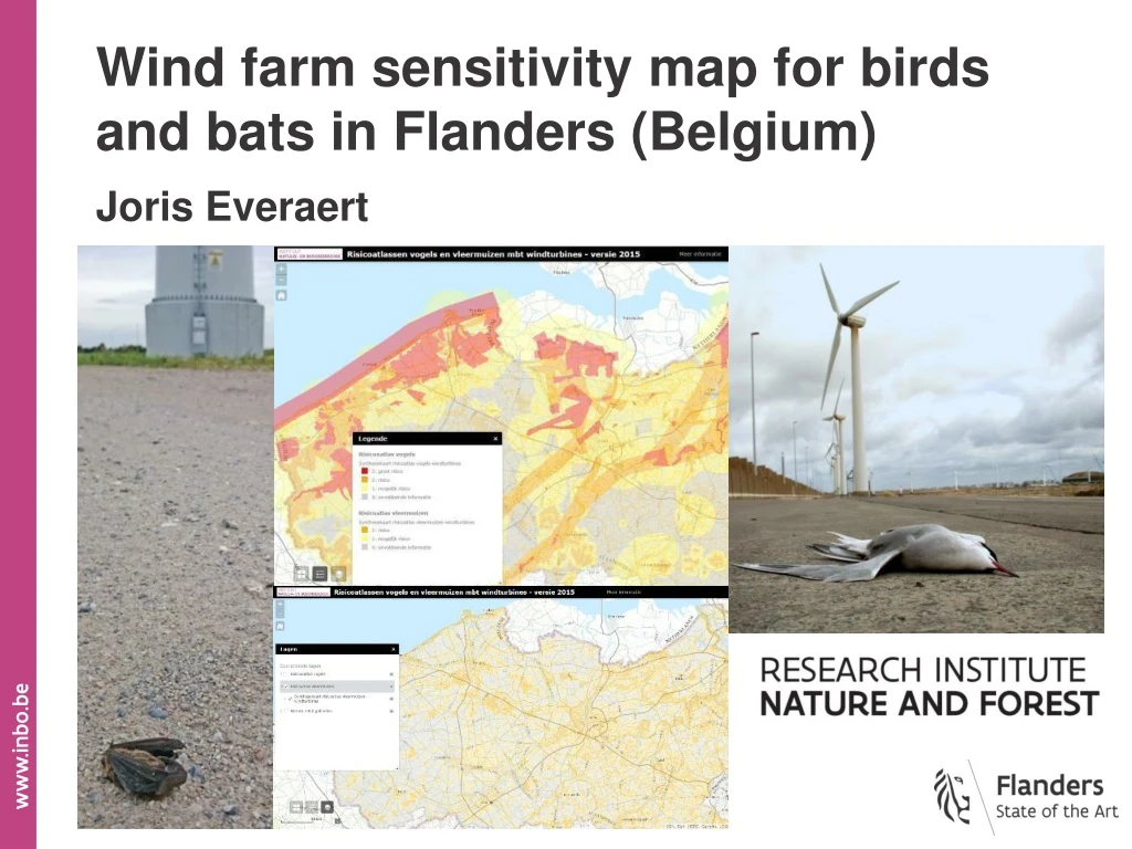
Wind farm sensitivity map for birds and bats in Flanders (Belgium) Joris Everaert
Guidelinesfor impact assessment in Flandersregion • Ecological & legal information • How to make impact assessments • incl. information/guidanceforsurveys, mitigation,.. More info: https://www.inbo.be/nl/effecten-van-windturbines-op-fauna-vlaanderen
Guidelinesfor risk assessment in Flandersregion Guidelinesalsoincludesensitivity maps forbirds and bats https://geo.inbo.be/windturbines/ Purpose of the maps: - indicate areas where siting of wind turbines may pose a risk to birds or bats. - intended to inform and guide more site-level assessments & strategic planning. Not to replace site-level assessments and not to identify ‘no-go’ areas. Birds Bats More info: https://www.inbo.be/nl/effecten-van-windturbines-op-fauna-vlaanderen
wintering waterfowl database - more than 1.000 sites in Flanders - 6 mid-month counts /winter - 400 (mostly amateur) field ornithologists breedingbird database in Flanders (incl. www.waarnemingen.be) - severalhundred field ornithologists management contracts map Flanders, based onbreedingbird databases + localbirdsurveysandknowledgecollected from bird working groups localbirdsurveysandknowledgecollectedfrombirdworkinggroups and www.trektellen.be = mostly opportunistic, not complete in same way for the whole of Flanders
Thematic map 1: Foraging and resting areas for waterfowl (non-breeding)
Thematic map 4: Areas with ‘special’ endangered/rare birds (breeding)
Synthesis map = max. risk class value of allthematic maps
Green map Flanders = segmentation classification from aerial photographs
Green map Flanders = segmentation classification from aerial photographs Biological valuation map Flanders (BWK) = detailed field inventory (incl. land cover)
Notincluded(yet). Tobedetermined in local assessment !
Challenges.. • Making the sensitivity maps more dynamic • (direct connectionwith databases easy updates) • Making the regularcommutingflight & migration route maps • more complete for the whole of Flanders (lessopportunistic) • Include real presence data of bats: • hibernation sites, colonies, modellingwithobservations,... hibernation sites
Degreeto which the guidelines incl. both sensitivity maps have been used in actual siting decisions • Project developers & consultancies: • Globally used for strategic planning and as ‘starting point’ information • and guidance for more detailed site-level project assessments • Local & regional administrations & authorities: • As above + globally used to check that project developers and • consultancies did their job well (local assessment should be more • detailed in case of high risk areas) • Some thematic bird maps: also used as part of data for making a sensitivity map for the mitigation of power lines in Belgium
Joris Everaert Research Institutefor Nature andForest, Flandersregion (Belgium) www.inbo.be joris.everaert@inbo.be