Download
1 / 30
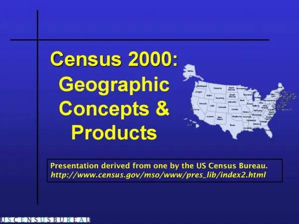
Census 2000: Geographic Concepts Products
300 likes | 430 Vues
The Census 2000 geography report outlines key geographic concepts used in census data collection. It categorizes geographic entities into two major types: legal/administrative entities, including counties, zip codes, states, and voting districts, and statistical entities like metropolitan areas, census tracts, and block groups. The Census Bureau employs a nested geography framework to effectively organize and present data, allowing for comparative analysis across different regions and levels of detail. Understanding these concepts is essential for interpreting census data accurately.
Télécharger la présentation 
Census 2000: Geographic Concepts Products
An Image/Link below is provided (as is) to download presentation
Download Policy: Content on the Website is provided to you AS IS for your information and personal use and may not be sold / licensed / shared on other websites without getting consent from its author.
Content is provided to you AS IS for your information and personal use only.
Download presentation by click this link.
While downloading, if for some reason you are not able to download a presentation, the publisher may have deleted the file from their server.
During download, if you can't get a presentation, the file might be deleted by the publisher.
E N D
Presentation Transcript

More Related