Download
1 / 34
340 likes | 443 Vues
Enhancements to a Community Toolset for Ocean Model Data Interoperability: Unstructured grids, NCTOOLBOX, and Distributed Search. Rich Signell (USGS), Woods Hole, MA Alex Crosby (Applied Science Associates), S.Kingston , RI Kyle Wilcox (Applied Science Associates), S.Kingston , RI.

E N D
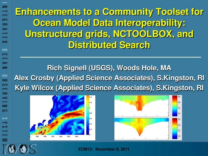
Enhancements to a Community Toolset for Ocean Model Data Interoperability: Unstructured grids, NCTOOLBOX, and Distributed Search Rich Signell (USGS), Woods Hole, MA Alex Crosby (Applied Science Associates), S.Kingston, RI Kyle Wilcox (Applied Science Associates), S.Kingston, RI ECM12: November 8, 2011
US Integrated Ocean Observing System (IOOS®) • IOOS® Plan defines: • Global Component • Coastal Component • 17 Federal Agencies • 11 Regional Associations
14 Different Ocean Forecast Models Spanning CONUS Waters in IDV
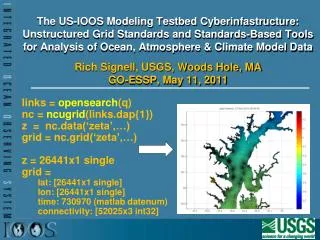
Data Interoperability Model Matlab:NCTOOLBOX NcISO Metadata Service ArcGIS 10.0 GI-CAT
Single Point of Access Catalog:GEO-IDE => IOOS Regions GEO-IDE Web Site: http://geo-ide.noaa.gov
Federated Search Model Servers Clients Broker THREDDS OpenSearch THREDDS GI-CAT OGC-CSW Geoportal Server THREDDS ISO Common Metadata Model Database THREDDS OGC-CSW OGC-WCS
Real benefits of Geoinformatics • More usage of model results for science • More feedback to modelers => Improved models • More efficient retrieval of data => More time to do science
Opportunities for modelers (1/2) • Join the IOOS Model Data Interoperability Google Group: http://groups.google.com/group/ioos_model_data_interop • Join the Unstructured Grid Interoperability Google Group: http://groups.google.com/group/ugrid-interoperability
Opportunities for modelers (2/2) • Try out the Matlab NCTOOLBOX to access CF-compliant model output:http://code.google.com/p/nctoolbox • Give us feedback! Suggest more functionality! Toolbox is under active development • ECM12 Signell Presentation Extra Info and Links: http://bit.ly/ecm12_signell