Mapping the Middle East
This presentation delves into various maps of the Middle East, uncovering the narratives they convey. By analyzing territory size, export statistics, and historical contexts, we explore the region's geopolitical significance, particularly in relation to crude petroleum and fuel exports. Each map prompts reflection on the implications of territorial changes, cultural heritage, and the biases inherent in their creation. Sources range from academic institutions to historical texts, enriching our understanding of the Middle East's complex landscape and the stories behind the borders.

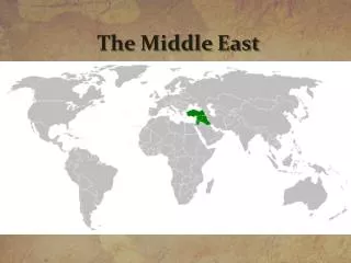
Mapping the Middle East
E N D
Presentation Transcript
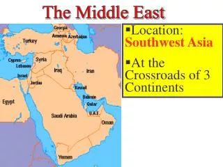
Next to each slide write what you’ve learned about the Middle East Push your thinking: What can you infer? What does it mean? Why is it the way it is? Pay particular attention to sources and bias.
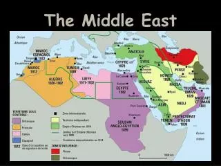
Territory size shows the proportion of worldwide net exports of crude petroleum (in US$) that come from there. Net exports are exports minus imports. Source: World Mapper
Territory size shows the proportion of worldwide gross fuel exports from there. Source: World Mapper
Map of Ancient Palestine Source: University of Texas
Palestinian 3rd grade textbook Source: Jewish Virtual Library
Israeli textbook Source: Muzzle Watch