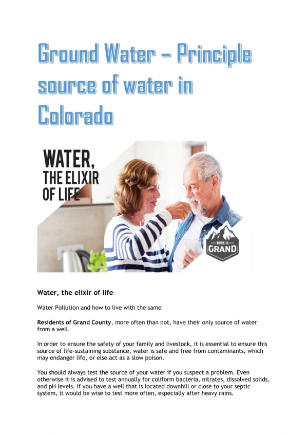
Download
1 / 27
270 likes | 448 Vues
Ground Water Rule Assessment Source Monitoring. Ground Water Rule Workshop Department of Environmental Conservation September 22-23, 2009. Chris Miller State of Alaska-Drinking Water Program Public Drinking Water Protection chris.miller@alaska.gov .

E N D
Ground Water RuleAssessment Source Monitoring Ground Water Rule Workshop Department of Environmental Conservation September 22-23, 2009 Chris Miller State of Alaska-Drinking Water Program Public Drinking Water Protection chris.miller@alaska.gov
Ground Water RuleAssessment Source Monitoring • Presentation Outline: • Review Assessment Source Monitoring. • What it is. • Risk factors considered . • Discuss data available to help determine whether assessment source monitoring is needed.
Ground Water Rule Monitoring Scenarios Ground Water Rule introduces two sampling scenarios: • Assessment Source Monitoring: State discretion • For systems identified as at higher risk for microbial contamination. • Assessing risk factors impacting a water system. • Hydrogeologic Sensitivity Analysis. • Triggered Source Monitoring: All ground water systems are subject to, unless meeting 4-log treatment requirements. • This presentation focuses on Assessment Source Monitoring.
Before we begin: • Targeted Monitoring = Assessment Source Monitoring • Also Please Note: Source Assessment ≠ Source Water Assessment Reports Better: Assessment Source Monitoring
Before we begin: • Assessment Monitoring does not mean the State of Alaska Drinking Water Program will actively track down current water systems and require monthly source monitoring. • But rather, it is an option to proactively identify at risk systems. • It will be risk-based.
Assessment Source Monitoring Triggered Source Monitoring Regular TCR monitoring (TCR +) • Identified as higher risk system • Identified as sensitive aquifer by HSA Follow-up sampling (One sample has to be at the source). Sample at source water (frequency decided by the State ) Revert to Triggered Status (Normal TCR Monitoring) No No Detection Detection Positive indicator triggers 5 source water samples. EPA recommends monthly for 12 months Positive indicator triggers 5 source water samples. • Corrective Actions • Correct significant deficiencies. • 4-Log treatment. • Provide an alternative source. • Remove source of contamination. Positive fecal indicator (E. coli) Corrective Action Corrective Action
Assessment Source Monitoring Which Public Water Systems may be impacted by Assessment Source Monitoring? • Sensitive Aquifers: • Hydrogeologic Sensitivity Analysis (HSAs)-not in Alaska at this time. • Desktop Analysis-existing data. • Wells vulnerable to contamination: • Determined by State, • High density of septic systems, • Near sewer lines, and • Construction deficiencies.
Hydrogeologic Sensitivity Assessments (HSAs) • What is an HSA? • A tool used to determine sensitivity of the aquifer to fecal contamination. • Many different ways to conduct an HAS: • Field observation. • Tracer studies. • Aquifer tests. • Alaska will not be using HSAs.
Assessment Source Monitoring-Risk Factors • Sensitive aquifers. • Aquifers in which viruses may travel faster and farther than bacteria. • Shallow unconfined aquifers. • Aquifers with thin or absent soil cover. • Wells previously identified as having been fecally contaminated. • High population density combined with on-site wastewater treatment systems. • Other risk factors.
Risk Factors • Sensitive Aquifer • The EPA classifies three aquifer types as Sensitive Aquifers: • Karst; • Fractured bedrock ; and • Gravel aquifer.
Risk Factors (cont’d.) • Distribution in Alaska • Karst (cavernous limestone) • SE Alaska(generally surface water systems) • Northern Alaska(undeveloped areas) Sensitive Aquifers
Risk Factors (cont’d.) • Sensitive Aquifers: Bedrock • Distribution: Bedrock aquifers in Alaska (fractured) • Interior • S. Central • Kodiak Groundwater Atlas of the US, USGS HA 730-N, 1999
Risk Factors (cont’d.) Sensitive Aquifers- Unconsolidated gravel with low concentration of fines • Ex. Glacial lake outburst flood environments • Ex. Steep terrain flash flood environments Groundwater Atlas of the US, USGS HA 730-N, 1999
Risk Factors (cont’d.) • Shallow unconfined aquifers: • Aquifers close to the surface; • Unprotected by a hydrogeological barrier; and • Transport path is relatively short. Greater likelihood that infectious fecal contamination will reach the PWS well. Examples: Matanuska Susitna Borough, MOA-upper Hillside.
Risk Factors (cont’d.) • Aquifers in which viruses may travel faster and farther than bacteria. • Viruses are much smaller and difficult to filter out. • Two Broad Aquifer Categories: • Porous: Sand, Sand/Gravel, and Gravel • Rate of flow varies: • Slow: Sand • Fast: Sand/Gravel • Non-porous: Fractured bedrock, karst • Rapid transport.
Risk Factors (cont’d.) • Aquifers with thin or absent soil cover-issues of concern. • Soils have high organic matter: • Efficient in retarding pathogen transport. • Absence of soil occurs when: • Erosion by wind and water, • Anthropogenic activity (e.g., gravel pits ), and • Glaciers.
Risk Factors (cont’d.) • Wells previously identified as having been fecally contaminated. • Wells with a history of E. coli contamination are more likely to experience additional fecal contamination. • Not many confirmed incidents in Alaska: ~ 6 identified over a year ago. • Historical TCR + result may lead to further review of a system if Sanitary Survey deficiencies are noted.
Risk Factors (cont’d.) • High population density combined with on-site waste water treatment systems: • Population density is high and aquifer yield is limited relative to septage discharge. • Attenuation processes are limited. (Rapid transport) Note: This process looks at density of septic and sewer lines, not set-back distance.
Risk Factors (cont’d.) • Other Risk Factors (Charley Palmer will cover in detail) • Well near a source (Separation Distance Waivers) of fecal contamination. • Well in a flood zone. • Improperly or unknown constructed well. • Other non-microbial indicators are present: high chloride, nitrate detergents.
Important Point: • Viral pathogens can remain infectious in the subsurface for a maximum of about one year. (Varies depending upon environmental factors such as temperature, pH, nutrients, aquifer material, detergents, etc.) Example: 2 year Time of Travel (TOT) or Zone B is an average. Some of the source water will travel within 1 year and some within 3 years. (Average is 2 yr TOT). 2 year TOT is a good starting point to examine potential sources of contamination.
Existing Data: GIS Spatial Database- Drinking Water Protection Areas and Public Water System locations. 2 year time of travel (Zone B Protection Area) 200 ft Set-Back Several Months Time of Travel (Zone A Protection Area)
Existing Data (cont’d.) GIS Spatial Database- Inferred septic systems
Existing Data (cont’d.) Drinking Water Protection Database- Well and Aquifer Information
Existing Data (cont’d.) Drinking Water Protection Database- Wellhead, Aquifer and Contaminant Risk Rankings
Existing Data (cont’d.) Hydrogeologic Data Sources: • State and Federal hydrogeologic investigations. • Wellhead Protection and Source Water Assessment Studies. • State Geologic Survey, USGS, and Other Hydrogeologic Investigations. • Hydrogeologic and geologic maps. • Soil Maps. • Topographic Maps.
Observations • Current set-back regulations do not take into account hydrologic conductivity or pumping rates. Two-year TOT should be considered, at a minimum, when examining potential contaminant sources. • Earlier presentation by Cindy: • Demonstrated that small systems historically have a higher incidence of fecal contamination. • Septic/Sewer lines are the largest risk source. These risk factors should be considered when completing a Sanitary Survey.
Summary • Assessment Source Monitoring will be an option in Alaska. • Assessment source monitoring will only apply to systems that have been identified as at higher risk based on other surveys or assessments. • Hydrogeologic Sensitivity Analysis (HSA) will not be used in Alaska at this time. • Two year Time of Travel (Zone B) can be considered a good starting point when assessing microbial risks. • Alaska’s Drinking Water Regulations (18 AAC 80) will allow the tools needed to address Alaska’s unique situations.