Exploring Alaska and California's Ocean Depths: Insights from LIDAR and Bathymetry
This presentation showcases stunning visuals and critical data from Seward, Alaska, and Monterey, California. Featuring the work of Labay and Haeussler (2008), it combines high-resolution LIDAR topography and multibeam bathymetry to reveal the underwater landscapes of these regions. Accompanying photos by Deanna Wheeler illustrate the beauty of our oceans while offering valuable insights into marine geology. Learn more about the mysteries and formations beneath the waves with this engaging overview.

Exploring Alaska and California's Ocean Depths: Insights from LIDAR and Bathymetry
E N D
Presentation Transcript
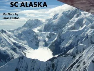
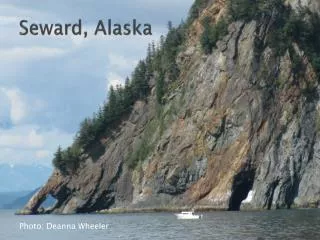
Seward, Alaska Photo: Deanna Wheeler
Monterey, California Photo: Humanoid One
What’s Under Our Oceans? http://youtu.be/M52Wj0R58s8
Seward, Alaska Labay & Haeussler, 2008
Seward, Alaska Labay & Haeussler, 2008
Monterey, California http://www.mbari.org/data/mapping/monterey/monterey.htm
References • Labay, K.A., and Haeussler, P.J., 2008, Combined high-resolution LIDAR topography and multibeam bathymetry for Northern Resurrection Bay, Seward, Alaska: U.S. Geological Survey Data Series 374. (http://pubs.usgs.gov/ds/374/)