Download
1 / 28
280 likes | 284 Vues
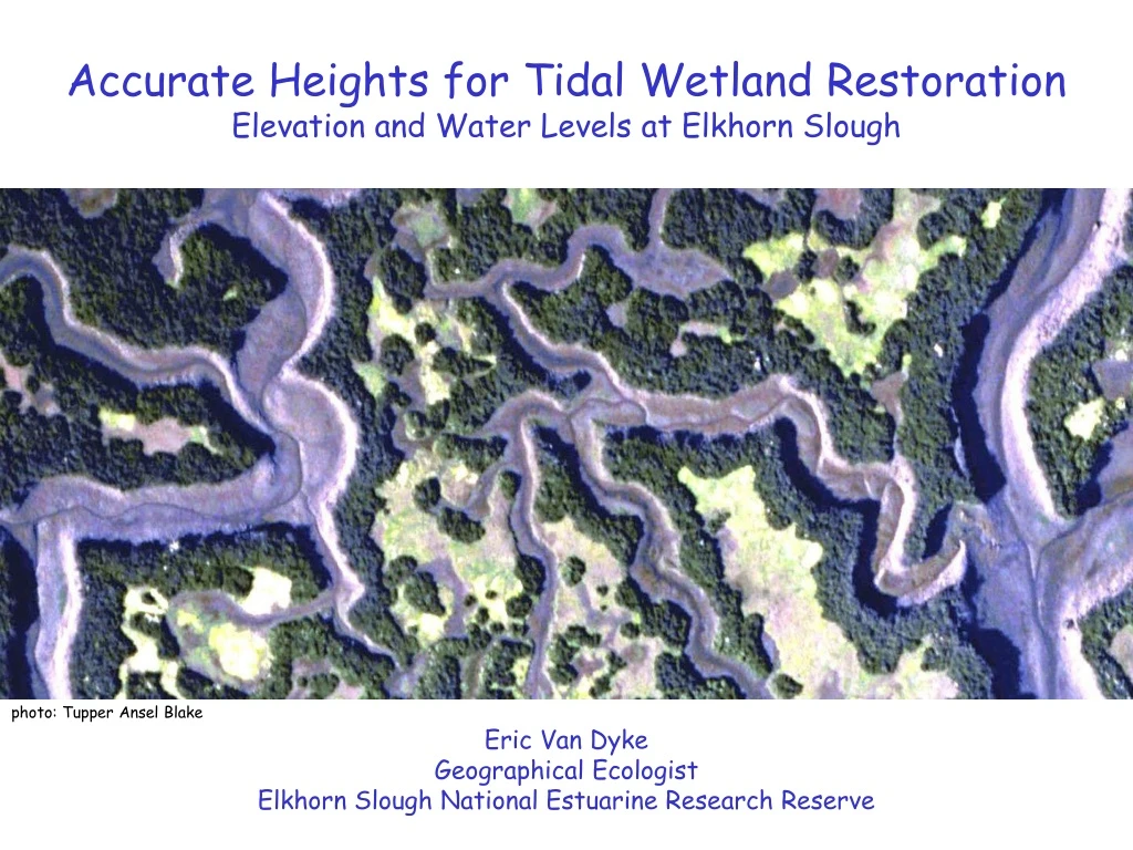
This study focuses on accurate elevation and water level measurements at Elkhorn Slough for effective tidal wetland restoration. It covers vertical control, water level monitoring, marsh surface elevation monitoring, and vegetation response prediction. Published heights vs. levels, GPS data, and geospatial modeling are used for predicting tidal inundation and marsh distribution.

E N D
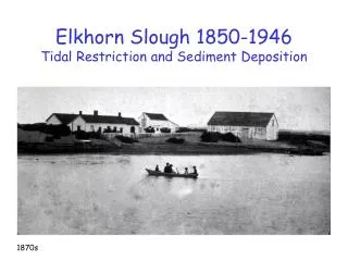
Accurate Heights for Tidal Wetland RestorationElevation and Water Levels at Elkhorn Slough photo: Tupper Ansel Blake Eric Van Dyke Geographical Ecologist Elkhorn Slough National Estuarine Research Reserve
Elkhorn Slough National Estuarine Research Reserve 2
Vertical Control, Water Levels, and Marsh Surface Elevation
= -33.60 meters HAE
Vertical Control Network • Continuous GPS (CORS) • Deep-rod Benchmarks • Differential Leveling • Laser Topography • Height Modernization
Published Heights vs. Levels GPS (ortho) Heights vs. Levels
Water Level Monitoring • Main Channel Gauge • Tidal Creek Gauges • Tidal Datums • Inundation Analysis • Additional Sites, Lower-cost Instruments
Marsh Elevation Monitoring • Surface Elevation Tables • Feldspar Marker Horizons • Net Sedimentation Tiles • LiDAR Topographic Surveys • Laser Transect Surveys
Predicting and Monitoring Vegetation Response • Vegetation Sampling • Tidal Inundation and Marsh Distribution Prediction • Geospatial Modeling and Change Analysis