Download
1 / 33
330 likes | 443 Vues
This project focuses on the digitization and improvement of Common Land Units (CLU) for 18 counties, involving over 214,000 polygons, based on irrigation status (irrigated, non-irrigated, and semi-irrigated). Utilizing the Normalized Difference Vegetation Index (NDVI) as a by-product of METRIC processing, we analyze crop health and monitor changes over time. The dataset, with a 15-class land classification, aids the Farm Service Agency in administering crop compliance. Future efforts will leverage recent NAIP imagery to refine assessments and enhance agricultural planning.

E N D
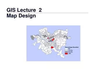
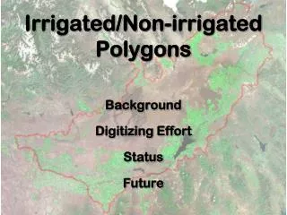
Irrigated/Non-irrigated Polygons Background Digitizing Effort Status Future
Farm Service Agency • Creates CLU (common land unit) • Administer crop compliance responsibilities • CLU metadata circa 2005
2 year editing effort 18 Counties Over 214,000 polygons
Clipped to model extent Dataset useful for Other projects
Evolution of CLU editing • As-is • 15-class land classification • Balance • Close enough
NDVINormalized Difference Vegetation Index • A by-product of the METRIC processing • Exploits strong spectral reflectance difference between red and near-infrared measurements • Directly related to photosynthetic capacity and energy absorption • NDVI values fall between -1.0 and +1.0
NDVI 255 Spectral classes NDVI Date #1 NDVI Date #2 NDVI Date #3 Per pixel Classification Per Field Classification (75%) Final Review
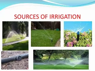
IRRIGATION STATUS Irrigated Non-irrigated Semi-irrigated
2002 CLU edits • Work with NDVI images to find changes between years • 1-meter statewide NAIP was flown this summer – near-infrared band included