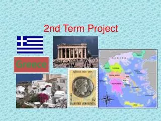
Arc Hydro Data Modeling for Western Kenya
50 likes | 163 Vues
Developing a geospatial model using ASTER DEM to delineate watersheds and build a geo-database for Kenya's regions. Methodology involves Arc Hydro tools and frameworks. Agency data from METI and NASA. Study area spans Nairobi, Rift Valley, Western, and more.

Arc Hydro Data Modeling for Western Kenya
E N D
Presentation Transcript
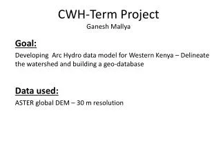
CWH-Term Project Ganesh Mallya Goal: Developing Arc Hydro data model for Western Kenya – Delineate the watershed and building a geo-database Data used: ASTER global DEM – 30 m resolution
Study Area- Kenya 1 Central 2 Coast 3 Eastern 4 Nairobi 5 North Eastern 6 Nyanza 7 Rift Valley 8 Western Details Lat: -1.26667 Lon: 36.8 Total area: 224080 sq mi Water: 2.3% Highest elevation: 5199 m (Mt Kenya) Lowest elevation: 0 m (East coast- Indian ocean)
Data Digital Elevation Model (DEM) Source: Terra ( Launched in 1999 and part of NASA’s Earth Observation System) Sensor: ASTER (Advanced Space borne Thermal Emission and Reflectance radiometer) Resolution available: 15 m to 90 m Resolution used: 30m Agencies: METI and NASA Website: https://wist.echo.nasa.gov
Methodology Arc Hydro- Geospatial and temporal data model which operates within Arc GIS - Provides systematic structure to link time series data to geospatial data Arc Hydro tools- Can be used for hydrologic simulations Framework: Geo-database Feature Dataset- to store feature classes, map projection, co-ordinate system etc. Feature Class- Watershed/Drainage basin, Water bodies, Monitoring points Relationship: Features from one class are related to the other End Result: Network- Set of connected points showing pathway of water flow Watershed- Area which drains out into a water body Hydrography-map representation of surface water features in the landscape Time Series- Flow variation with time (based on availability of data)
References and Resources Border Environmental Health Website: http://borderhealth.cr.usgs.gov/ Center for Research in Water Resources (CRWR) at the University of Texas at Austin website: http://www.crwr.utexas.edu/ Maidment, David R., ed. 2002. Arc Hydro GIS for Water Resources. NY: ESRI. http://www.crwr.utexas.edu/gis/archydrobook/ArcHydro.htm National Atlas of the United States: http://www.nationalatlas.gov/ National Hydrography Dataset: http://nhd.usgs.gov/ Wikipedia: http://en.wikipedia.org/wiki/Kenya THANK YOU