Download
1 / 11
120 likes | 275 Vues
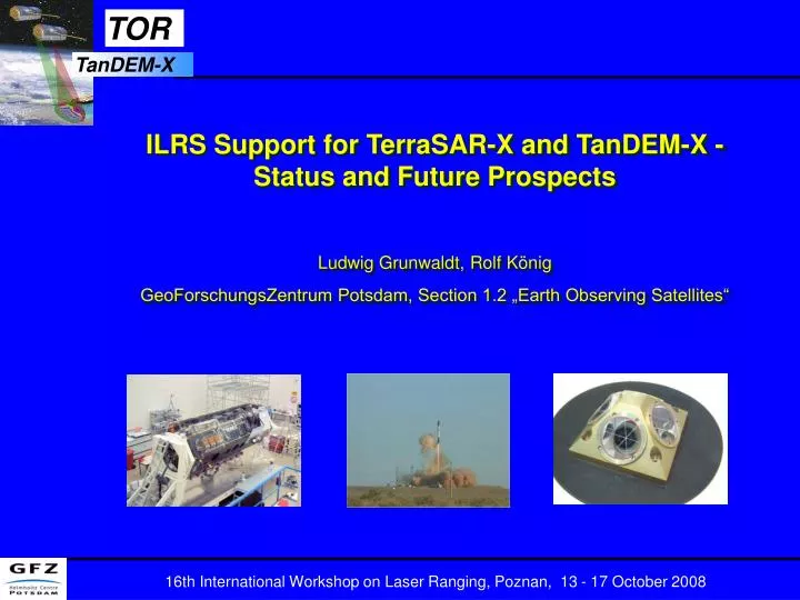
ILRS Support for TerraSAR-X and TanDEM-X - Status and Future Prospects Ludwig Grunwaldt, Rolf König GeoForschungsZentrum Potsdam, Section 1.2 „Earth Observing Satellites“. TerraSAR-X and TanDEM-X Missions.

E N D
ILRS Support for TerraSAR-X and TanDEM-X - Status and Future Prospects Ludwig Grunwaldt, Rolf König GeoForschungsZentrum Potsdam, Section 1.2 „Earth Observing Satellites“
TerraSAR-X and TanDEM-X Missions TerraSAR-X was launched on 15 June 2007 into a circular dawn-dusk , 11-day repeat orbit at 514 km altitude (sun-synchrounous) Primary instrument is a Synthetic Aperture Radar (SAR) GFZ and UTCSR contributed the TOR payload (GPS + LRR) for • Precise orbit determination, resulting in enhanced SAR data quality • Collection of ionospheric and neutral-atmospheric radio occultation data for deriving vertical profiles of humidity and temperature - shall be used for improved SAR error correction TanDEM-X will follow in fall 2009 for a close formation flight (target: 3 years!) with the nearly identical TerraSAR-X • Use of both SAR instruments for bistatic measurements to derive DEMs the baseline between both S/C is needed with mm accuracy!
TanDEM-X shall fly in close formation (~300 ... 600 m distance) with TSX to obtain simultaneous X-band radar takes for Digital Elevation Models (DEM) TOR Instrument Package (2F-GPS + LRR) is identical on both satellites LRR is of CHAMP / GRACE type (small array with 4 CCRs) ILRS tracking support granted May 2008
TanDEM-X Spacecraft Integration Status 10/2007 Dual-frequency GPS receiver IGOR™ Derived from JPL‘s BlackJack GPS receivers for Jason-1/-2, CHAMP, GRACE, SAC-C ... Design especially „hardened“ against intense X-Band radar frequencies
ILRS Tracking Statistics for TerraSAR-X (06 Oct 2008) • Stations with >30 passes included in Table • High average number of NPs per pass (excellent for orbit comparison with GPS!)
TerraSAR-X Orbit Assessment with SLR • 10-day assessment: comparison of independently generated 10-day orbit solutions by GFZ and DLR (using different SLR analysis tools) yields RMS range biases for the IGOR-based orbits between 2.5 and 3.1 cm. SLR stations used: Changchun, Graz, Herstmonceux, Hartebeesthoek, Matera, Monument Peak, Mount Stromlo, Potsdam, Wettzell, Yarragadee and Zimmerwald • 5-months-assessment: comparison with IGOR-based precise orbits yields an average orbit agreement of 2-3 cm and a mean station bias below 1 cm (< 0.5 cm for a subset of 6 stations). SLR stations used: Graz, Herstmonceux, Hartebeesthoek, Monument Peak, Mount Stromlo, Potsdam, Yarragadee and Zimmerwald (based on contributions by GFZ and DLR)
Summary and Conclusions • The ILRS support for TerraSAR-X is excellent; the large number of tracked passes allows for a precise assessment of the GPS-derived orbit quality. • The average orbit agreement is within few centimeters with a mean station bias below 1 cm for a selected sub-network. This is an exciting result for a large, actively attitude-controlled spacecraft! • The upcoming tandem flight of TerraSAR-X and TanDEM-X poses a new challenge for laser tracking. SLR will be a viable means of external validation of the inter-satellite baseline which is required with millimeter accuracy for deriving world-wide DEMs with meter precision. The Project expresses special thanks to all contributing ILRS stations for their excellent support!