Download
1 / 25
250 likes | 488 Vues
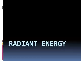
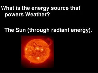
What is the energy source that powers Weather? The Sun (through radiant energy). 2. Land BREEZE…. Wind is blowing from land . 3. SEA BREEZE…. Wind is blowing in from the sea . Atmospheric Convection Areas.

E N D
What is the energy source that powers Weather? The Sun (through radiant energy).
2. Land BREEZE… Wind is blowing from land.
3. SEA BREEZE… Wind is blowing in from the sea.
Atmospheric Convection Areas Warm air near Earth’s surface rises and then cools as it goes up, a convection current is set up in the atmosphere. There are three atmospheric convection areas in the northern hemisphere and three in the southern hemisphere. • the tropical region begins at the equator and extends to the about 30 degrees north latitude; • the temperate region extends from there to about 60 degrees north latitude, and • the polar region extends from there to the north pole, 90 degrees north latitude.
Climate Zones • Because of the unequal heating of Earth, climatezones (tropical, temperate, and polar) occur. • Since temperature is a major factor in climate zones, climate is related • to the convection regions at various latitudes, • to temperature differences between the equator and the poles, and also • to warm and cold surface ocean currents.
Surface Currents • The surface currents of Earth’s oceans that circulate warm and cold ocean waters in convection patterns also influence the weather and climates of the landmasses nearby. • The warm Gulf Stream current water influences the eastern Atlantic shoreline of the United States, while the cold California current influences its western Pacific shoreline.
Global Winds • http://pulse.pharmacy.arizona.edu/9th_grade/from_global/earth_science/world_winds.html • http://www.atmo.arizona.edu/products/wximagery/globalir.html University of Arizona Satellites and radar: http://www.atmo.arizona.edu/index.php?section=weather
Information about winds. • The sun is the driving force behind the global wind patterns. As the sun heats the equator, the air is heated and rises, moving North and South, away from the equator. Cold air rushes in to take its’ place. This creates a convection cell that extends from the equator to about 30 degrees North and South Latitude. This cell is called the Hadley cell after it discoverer George Hadley in 1735. The next cell is the Ferrell cell, which was identified by the American William Ferrell in the 1800s. This cell connects the sinking air at the 30th parallels to the Westerlies. It was Ferrell who noted that the currents in the Westerlies tend to give rise to cyclonic action as a result of winds moving around a spinning Earth. The Ferrell Cells sink at the 30th parallels and rise again at the 60th parallels where the Polar Cells begin.
Global Winds • Convection happens on a global scale in the atmosphere and causes global winds. These winds then move weather systems and surface ocean currents in particular directions. • Due to the spinning of Earth, the weather systems in these regions move in certain directions because the global wind belts are set up. • Global winds are found in each convection region
Global Winds (cont.) • The trade winds blow from east to west in the tropical region moving warm tropical air in that climate zone. • The prevailing westerly winds blow from west to east in the temperate region.
Global Winds (cont.) • The temperate zone temperatures are affected most by the changing seasons, but since the westerly wind belt is in that region, the weather systems during any season move from west to east. Since the United States is in the westerly wind belt, the weather systems move across the country from west to east.
Global Winds (cont.) • Tropical weather systems, for example hurricanes, are moved in the prevailing direction of the trade winds. If they enter the westerly wind belt, they are often turned, and move in the direction of that prevailing system. • The polar winds blow northeast to west in the polar region moving cold polar air in that climate zone from the poles toward the west.
Global Winds (cont.) • Because convection cells are in place in the atmosphere and Earth is spinning on its axis, these global winds appear to curve. This is known as the Coriolis effect. • In the global wind belt regions, the prevailing direction of the winds and how air movement in these large regions affects weather conditions.
Jet Stream • A fast-moving ribbon of air that moves from west to east in the Northern Hemisphere around Earth. It dips and bends and constantly changes positions. • As these changes occur, air masses and weather systems in its path are moved along by the fast moving air.
Jet Stream (cont.) • The polar jet stream can bring down cold polar conditions from the north. • The subtropical jet stream can bring warm tropical conditions from the south (in the northern hemisphere).
Global Winds always blow. • Students Image courtesy of Dr. Grossman's GEOL101 Home Page - "Deserts"