Prototype Land Measurements Portal
110 likes | 231 Vues
The Land Measurements Portal serves as a centralized resource for data products and information related to terrestrial observations. This initiative, highlighted during the MODIS/VIIRS Science Team Meeting (May 13-16, 2008), aims to promote new projects and products beyond traditional agencies. The portal includes international news, fosters coordination, and standardizes validation efforts within the remote sensing community. Stakeholder feedback is essential for future directions, enhancing product calibration, and understanding community needs.

Prototype Land Measurements Portal
E N D
Presentation Transcript
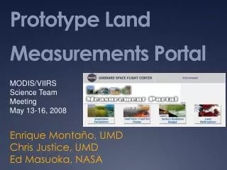
Prototype Land Measurements Portal MODIS/VIIRS Science Team Meeting May 13-16, 2008 Enrique Montaño, UMD Chris Justice, UMD Ed Masuoka, NASA
Land Measurements Portal • The Land Measurements Portal provides a single location to find information and data products related to terrestrial observations. • Promote new products and projects from sources other than agencies • Sources of data now include:
Community News • The portal provides a source for international news and meetings relevant to the land remote sensing community • Submissions are gladly accepted • The portal is also encouraging the development of international coordination and standardization of validation efforts
Demonstration • http://landportal.geog.umd.edu/portal/portal_login.php
Future Directions and Needs • Product Cal/Val status is the next step in development • The portal promotes a coordinated, standardized validation for products • Further review • Corrections or clarifications to products • More sources • New Products • What else does the community need or want to see? • Outreach