Download
1 / 34
340 likes | 356 Vues
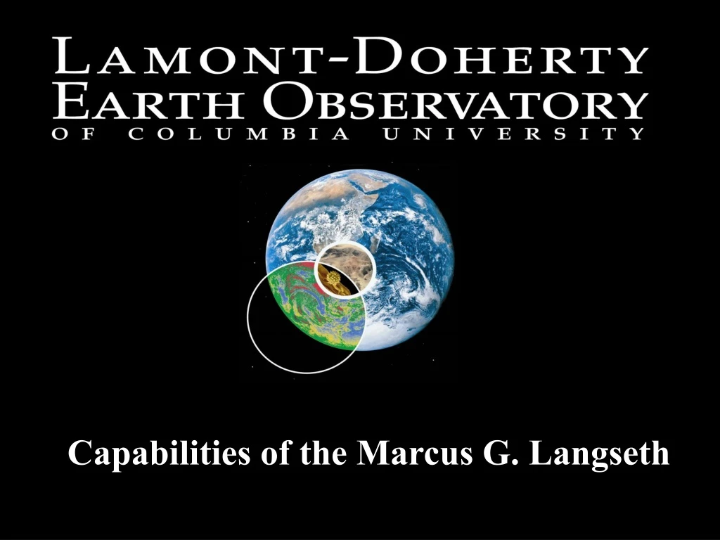
The Marcus G. Langseth MV Western Legend is a research vessel with advanced capabilities for multichannel seismics. This includes a multistreamer 3D capability, linear source arrays management, and national oversight. The vessel is equipped with various decks and instruments for data collection, such as streamers, air gun arrays, and towing umbilicals. Additionally, the vessel has comprehensive navigation systems and communication capabilities, including satellite and internet connectivity. It also has the ability to conduct swath bathymetry and marine mammal observation.

E N D
R/V LANGSETH • Principal mission is multichannel seismics in support of NSF-funded science. • What’s new? • National Facility Status • Multistreamer 3D Capability • Linear Source Arrays
Management & National Oversight Ewing Replacement Oversight Conversion Committee Marine Operations Working Group Marcus Langseth Science Oversight Committee
Helicopter Deck Paravane Deck Streamer Deck Gun Deck
Total Spread 150m – 600m, CDP line spacing 12.5m – 50m
Streamers: • 4 x 6 km x 12.5m Thales [Sercel] solid state “Sentry” • Separations = 50 to 200 meter, for CDP spacing between 12.5 and 50 meters • Western Geoph. Tailbuoys • Digicourse Birds, Sonardyne Acoustic modules
Linear Air Gun Array Tubular Float Support Cables Towing Umbilical Chain Bell Housing Towing Plate Cable / Hose Harness Cluster
R/V Langseth 3D Source array 2 x 10 – element strings, 15m x 10m, 3300 cu. in.
Determining Acquisition Geometry • Compass Birds • Source head buoy and streamer tail buoy GPS • Acoustic network
3D MCS Navigation Spectra – Nav capture, realtime QC & logging Sprint – Nav QC, post-processing Reflex – Binning & Binning analysis
3D MCS Navigation • Spectra – Nav capture, realtime QC & logging • Sprint – Nav QC, post-processing • Reflex – Binning & Binning analysis
Added Personnel for 3D surveys Senior Science Officer/Party Chief Contract Navigators
Cruise Planning http://www.ldeo.columbia.edu/res/fac/oma/3D_Seismic/3Dcapabilitiesandcruiseplanning.html
Communications: • VSAT/HiSeasNet • Inmarsat F & B • Cisco Router/firewall • Fulltime connectivity => voiceover IP, Video, • Educational support
Swath Bathymetry Simrad 120 – 12kHz 1o x 1o with future upgrade to 122