Exploring the Transformative Landforms of the San Andreas Fault in California
This work by Thomas McGuire delves into the significant geological features created by the San Andreas Fault in California. The text and accompanying images highlight key aspects such as fault scarps, sag ponds, and the impact on human infrastructure. It emphasizes the necessity of understanding these landforms to live sustainably on Earth. The narrative presents unique insights from the author's exploration of seismic activities in California, aiming to raise awareness about the vulnerabilities associated with the San Andreas Fault.

Exploring the Transformative Landforms of the San Andreas Fault in California
E N D
Presentation Transcript
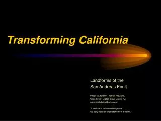
Transforming California Landforms of the San Andreas Fault Images & text by Thomas McGuire, Cave Creek Digital, Cave Creek, AZ cavecreekdigital@msn.com “If we intend to live on this planet… we truly need to understand how it works.”
The author at Parkfield CA, site of USGS seismic experiment. “Be here when it happens!”
Fault Issues 1. Fault Scarps & Alignments 2. Sag Ponds 3. Offset Drainages 4. Distortion of Human-Made Structures 5. Infrastructure Vulnerability
San Andreas Fault San Francisco San Joaquin Valley Basic California Geography Death Valley Mojave Desert Los Angeles Imperial Valley
The San Andreas fault is part of the boundary between the North American and Pacific tectonic plates. It is classified as a right lateral transform fault. (To a person facing the fault, the far side shifts to the right.) Our Dynamic Earth, Robert Tilling, USGS, 1996
The Sea of Cortez.. (Known to Gringos as The Gulf of California.)
The US-Mexican Border (fence line) is as impervious to plate processes as it is to immigration.
The All-American Canal brings Colorado River water to the Imperial Valley of California.
The main trace of the fault runs NE of Los Angeles, but numerous splay faults affect the LA Basin.. (So does smog.)