Download
1 / 11
110 likes | 331 Vues
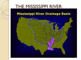
Historic Spring Flooding Ohio River Valley and Mississippi River. Ernie Wells Hydrologic Services Division. Snow Water Equivalent. March 18, 2011. Substantial stored water in the snow pack represents significant flooding potential in the North Central and Northeast as the spring thaw begins.

E N D
Historic Spring FloodingOhio River Valley and Mississippi River Ernie Wells Hydrologic Services Division
Snow Water Equivalent March 18, 2011 Substantial stored water in the snow pack represents significant flooding potential in the North Central and Northeast as the spring thaw begins
National Hydrologic Assessment Spring 2011 – Issued March 17, 2011
River ObservationsMay 3 Observations of major to record crest levels in the Ohio River Valley along the Mississippi River http://water.weather.gov
Observed PrecipitationApril 18, 2011 – May 2, 2011 During the previous 2 weeks, a broad area of Central US received 10-20+ inches of precipitation; 600% of normal precipitation
Forecasted PrecipitationMay 2, 2011 – May 7, 2011 During the next 5 days, a broad area of Central US received 0.5 - 2 inches additional rain (much has already fallen)
Extended Range Forecasts 6-10 Day Forecasts 8-14 Day Forecasts Precipitation (May 8-12) Precipitation (May 10-16)
Hydrologic “Perfect Storm”WFO Paducah, KY Confluence of Ohio River and Mississippi River
Hydrologic “Perfect Storm”Cairo, IL - Confluence of Ohio River and Mississippi Historic levee break at New Madrid relieving flood crest at Cairo
Hydrologic “Perfect Storm”WFO - Memphis Crest Moving downstream – expect flooding through June
River ForecastsMay 3 – next 48 hours Short-term streamflow forecasts predict minor to major crest levels in the Northeast, Ohio River Valley, and Alabama and Mississippi http://water.weather.gov