Enhancing Geospatial Outreach Mechanisms for Effective Community Development
70 likes | 190 Vues
This review by Jeff Hamerlinck discusses potential outreach mechanisms in the geospatial domain, focusing on the integration of diverse programs and partnerships. Highlighting concepts such as Big E and Little E extension, the paper explores the roles of land grant, sea grant, and space grant institutions in fostering community development and practical applications of geospatial technology. Emphasis is placed on the importance of collaboration among federal, state, and academic entities to achieve sustainability, livability, and resiliency in local projects.

Enhancing Geospatial Outreach Mechanisms for Effective Community Development
E N D
Presentation Transcript
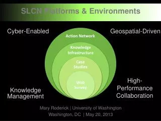
SLCNOutreach Coordination Network Review of Possible Outreach Mechanisms Jeff Hamerlinck U. Wyoming
Geospatial Extension Concept • Big E extension • National Cooperative Extension Service • Land Grant, Sea Grant, Space Grant • Specific mission • Communities of Practice • Community Development • Land Use Planning • Nat’l Geospatial Tech Extension Network
Geospatial Extension Concept • Little E extension • “Outreach” • E.g, clearinghouse, technology transfer, training, decision support • Often thematically focused • Diverse clientele, from federal to local • Local-focused examples • Plan-IT Wyoming • Syracuse Community Geography
Federal-StateProgram Partnerships • FGDC & National Spatial Data Infrastructure • National Geospatial Programs Office / state liaisons • Geospatial Platform • State-University Partnerships • USGS AmericaView • USDA Rural GIS Consortium
‘Different’ Perspectives • Federal-Academic-State • Extension needs for non-USDA federal agencies – HUD, EPA, DHS • Focus on livability, sustainability and resiliency • E.g., USGS Fish & Wildlife Cooperative Model • Academic-Public • Citizen Planner – adapting the Master Gardener Concept
Moving Forward with Sustainability Management • Fostering Sustainability Practitioners E.g., GeoDesign (Abukhater and Walker 2010) (Steinitz 2012)